
Country United States GNIS feature ID 0453906 Area 64.1 km² Population 922 (2010) | ZIP codes 46733, 46773 Elevation 252 m Local time Friday 1:54 PM | |
 | ||
Weather 8°C, Wind N at 14 km/h, 96% Humidity | ||
Union Township is one of twelve townships in Adams County, Indiana, United States. As of the 2010 census, its population was 922.
Contents
- Map of Union Township IN USA
- Geography
- Cemeteries
- Major highways
- Airports and landing strips
- School districts
- Political districts
- References
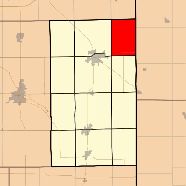
Map of Union Township, IN, USA
Geography
According to the 2010 census, the township has a total area of 24.75 square miles (64.1 km2), all land.
Cemeteries
The township contains these cemeteries: Alpha (Bethel), Clark Chapel, Immanuel Lutheran (Bleeke),Salem and Saint John Reformed.
Major highways
Airports and landing strips
School districts
Political districts
References
Union Township, Adams County, Indiana Wikipedia(Text) CC BY-SA