
Country United States GNIS feature ID 0453633 Area 94.25 km² Population 4,858 (2010) | ZIP codes 46711, 46733, 46772 Elevation 254 m Local time Thursday 1:23 PM | |
 | ||
Weather 2°C, Wind W at 19 km/h, 37% Humidity | ||
Monroe Township is one of twelve townships in Adams County, Indiana, United States. As of the 2010 census, its population was 4,858.
Contents
- Map of Monroe Township IN USA
- Geography
- Cities towns villages
- Adjacent townships
- Cemeteries
- Major highways
- Airports and landing strips
- School districts
- Political districts
- References
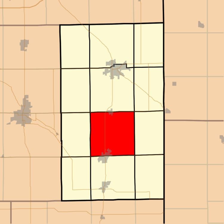
Map of Monroe Township, IN, USA
Geography
According to the 2010 census, the township has a total area of 36.39 square miles (94.2 km2), of which 36.34 square miles (94.1 km2) (or 99.86%) is land and 0.05 square miles (0.13 km2) (or 0.14%) is water.
Cities, towns, villages
Adjacent townships
Cemeteries
The township contains these four cemeteries: Graber, Mazelin, Ray, Smith, and Winchester.
Major highways
Airports and landing strips
School districts
Political districts
References
Monroe Township, Adams County, Indiana Wikipedia(Text) CC BY-SA