
Country United States Elevation 260 m Local time Saturday 6:11 PM | GNIS feature ID 0453975 Area 63.2 km² Population 672 (2010) | |
 | ||
Weather 17°C, Wind S at 13 km/h, 27% Humidity | ||
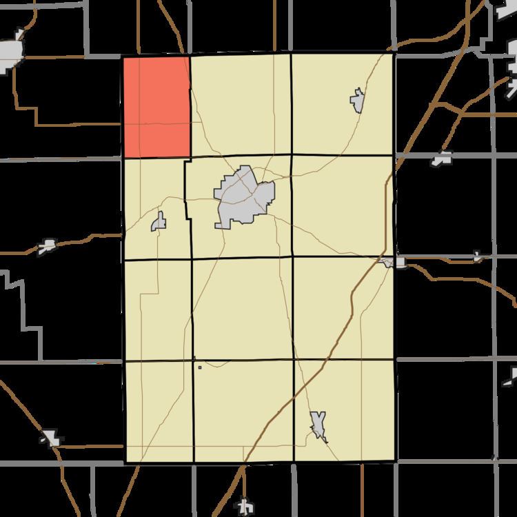
Warren Township is one of 12 townships in Huntington County, Indiana, United States. As of the 2010 census, its population was 672 and it contained 276 housing units.
Contents
- Map of Warren Township IN USA
- History
- Geography
- Unincorporated towns
- Adjacent townships
- Cemeteries
- Major highways
- Notable person
- References
Map of Warren Township, IN, USA
History
Warren Township was organized in 1843.
Geography
According to the 2010 census, the township has a total area of 24.4 square miles (63 km2), of which 24.32 square miles (63.0 km2) (or 99.67%) is land and 0.08 square miles (0.21 km2) (or 0.33%) is water.
Unincorporated towns
Adjacent townships
Cemeteries
The township contains two cemeteries: Funk and Saint Johns.
Major highways
Notable person
References
Warren Township, Huntington County, Indiana Wikipedia(Text) CC BY-SA