
Country United States Elevation 253 m Local time Monday 11:23 PM | GNIS feature ID 453226 Area 127 km² Population 3,398 (2010) | |
 | ||
Weather 14°C, Wind S at 26 km/h, 83% Humidity | ||
Cleveland Township is one of nine townships in Whitley County, Indiana, United States. As of the 2010 census, its population was 3,398 and it contained 1,441 housing units.
Contents
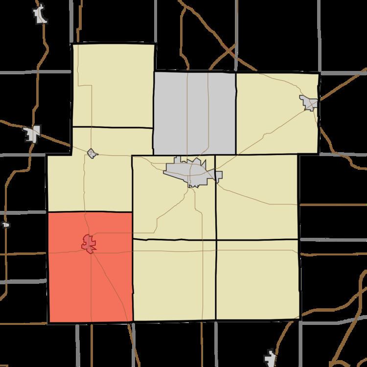
- Map of Cleveland Township IN USA
- Geography
- Cities and towns
- Unincorporated towns
- Adjacent townships
- Cemeteries
- Major highways
- Airports and landing strips
- References
Map of Cleveland Township, IN, USA
Geography
According to the 2010 census, the township has a total area of 49.04 square miles (127.0 km2), all land. The Eel River flows westward through the township. The streams of Clear Creek, Spring Creek, Sugar Creek and Sycamore Creek run through this township. Lakes in this township include T Lake.
Cities and towns
Unincorporated towns
Adjacent townships
Cemeteries
The township contains one cemetery, Cleveland.
Major highways
Airports and landing strips
References
Cleveland Township, Whitley County, Indiana Wikipedia(Text) CC BY-SA