
Car plates CWL | Area 1,472 km² | |
 | ||
Gminas Total 13 (incl. 1 urban)KowalGmina BaruchowoGmina BoniewoGmina Brześć KujawskiGmina ChoceńGmina ChodeczGmina FabiankiGmina Izbica KujawskaGmina KowalGmina LubanieGmina Lubień KujawskiGmina LubraniecGmina Włocławek Voivodeship Kuyavian-Pomeranian Voivodeship | ||
Włocławek County (Polish: powiat włocławski) is a unit of territorial administration and local government (powiat) in Kuyavian-Pomeranian Voivodeship, north-central Poland. It came into being on January 1, 1999, as a result of the Polish local government reforms passed in 1998. Its administrative seat is the city of Włocławek, although the city is not part of the county (it constitutes a separate city county). The county contains six towns: Brześć Kujawski, which lies 12 km (7 mi) south-west of Włocławek, Kowal, which lies 15 km (9 mi) south-east of Włocławek, Lubraniec, which lies 19 km (12 mi) south-west of Włocławek, Izbica Kujawska, which lies 33 km (21 mi) south-west of Włocławek, Chodecz, which lies 28 km (17 mi) south of Włocławek, and Lubień Kujawski, 29 km (18 mi) south of Włocławek.
Contents
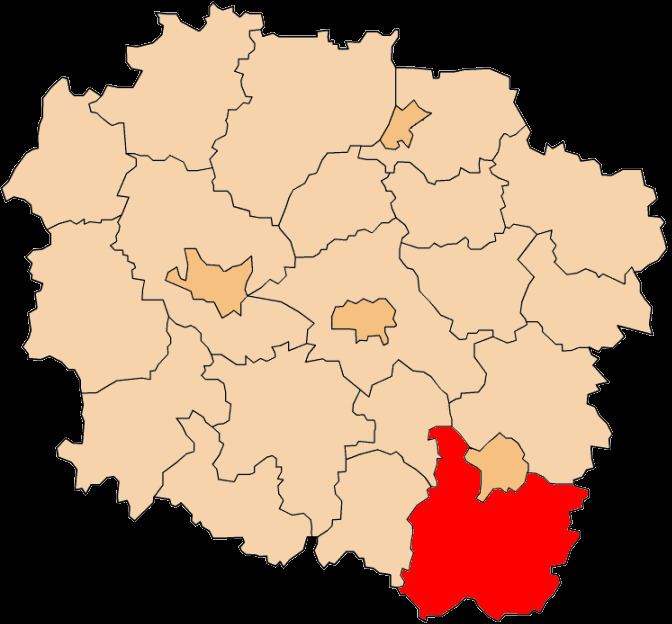
Map of W%C5%82oc%C5%82awek County, Poland
The county covers an area of 1,472.34 square kilometres (568.5 sq mi). As of 2006 its total population is 85,339, out of which the population of Brześć Kujawski is 4,522, that of Kowal is 3,484, that of Lubraniec is 3,207, that of Izbica Kujawska is 2,783, that of Chodecz is 1,936, that of Lubień Kujawski is 1,299, and the rural population is 68,108.
Neighbouring counties
Apart from the city of Włocławek, Włocławek County is also bordered by Lipno County to the north, Płock County to the east, Gostynin County to the south-east, Kutno County and Koło County to the south, Radziejów County to the west, and Aleksandrów County to the north-west.
Administrative division
The county is subdivided into 13 gminas (one urban, five urban-rural and seven rural). These are listed in the following table, in descending order of population.
Roads
Highway
Country Roads