
Car plates CRA Population 42,289 (2006) | Area 607 km² | |
 | ||
Gminas Total 7 (incl. 1 urban)RadziejówGmina BytońGmina DobreGmina OsięcinyGmina Piotrków KujawskiGmina RadziejówGmina Topólka Voivodeship Kuyavian-Pomeranian Voivodeship | ||
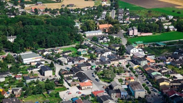
Radziejów County (Polish: powiat radziejowski) is a unit of territorial administration and local government (powiat) in Kuyavian-Pomeranian Voivodeship, north-central Poland. It came into being on January 1, 1999, as a result of the Polish local government reforms passed in 1998. Its administrative seat and largest town is Radziejów, which lies 45 km (28 mi) south of Toruń and 64 km (40 mi) south-east of Bydgoszcz. The only other town in the county is Piotrków Kujawski, lying 10 km (6 mi) south of Radziejów.
Contents
Map of Radziej%C3%B3w County, Poland
The county covers an area of 607 square kilometres (234.4 sq mi). As of 2006 its total population is 42,289, out of which the population of Radziejów is 5,756, that of Piotrków Kujawski is 4,509, and the rural population is 32,024.
Neighbouring counties
Radziejów County is bordered by Aleksandrów County to the north, Włocławek County to the east, Koło County and Konin County to the south, and Inowrocław County to the north-west.
Administrative division
The county is subdivided into seven gminas (one urban, one urban-rural and five rural). These are listed in the following table, in descending order of population.