
Car plates EKU Area 886.3 km² | ||
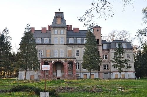 | ||
Gminas Total 11 (incl. 1 urban)KutnoGmina BedlnoGmina DąbrowiceGmina KrośniewiceGmina KrzyżanówGmina KutnoGmina ŁaniętaGmina Nowe OstrowyGmina OporówGmina StrzelceGmina Żychlin Points of interest Oporów Castle, Muzeum Regionalne w Kutnie, Muzeum Bitwy nad Bzurą Od, Dworek Wola Raciborowska, Muzeum im Jerzego Dunin‑Borkowskiego | ||
Kutno County (Polish: powiat kutnowski) is a unit of territorial administration and local government (powiat) in Łódź Voivodeship, central Poland. It came into being on January 1, 1999, as a result of the Polish local government reforms passed in 1998. Its administrative seat and largest town is Kutno, which lies 51 kilometres (32 mi) north of the regional capital Łódź. The county also contains the towns of Żychlin, lying 18 km (11 mi) east of Kutno, and Krośniewice, 14 km (9 mi) west of Kutno.
Contents
Map of Kutno County, Poland
The county covers an area of 886.29 square kilometres (342.2 sq mi). As of 2006 its total population is 104,124, out of which the population of Kutno is 47,557, that of Żychlin is 8,880, that of Krośniewice is 4,647, and the rural population is 43,040.
Neighbouring counties
Kutno County is bordered by Włocławek County and Gostynin County to the north, Łowicz County to the east, Łęczyca County to the south, and Koło County to the west.
Administrative division
The county is subdivided into 11 gminas (one urban, two urban-rural and eight rural). These are listed in the following table, in descending order of population.