
 | ||
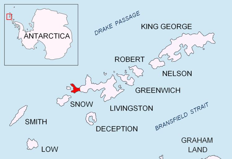
Villard Point is a point projecting 500 m into Barclay Bay from Robbery Beaches on Byers Peninsula, Livingston Island in the South Shetland Islands, Antarctica and forming the east side of the entrance to Baba Tonka Cove and the west side of the entrance to Kukuzel Cove.
Contents
The point was named in 1971 by the Chilean Antarctic Expedition following geological work in the area, probably after a member of the expedition.
Location
The point is located at 62°36′43.9″S 61°03′25.9″W which is 1.19 km east-southeast of Varadero Point and 1.16 km west-northwest of Lair Point (British mapping in 1968, Chilean mapping in 1971, detailed Spanish mapping in 1992, and Bulgarian mapping in 2005 and 2009).
Maps
References
Villard Point Wikipedia(Text) CC BY-SA