
 | ||
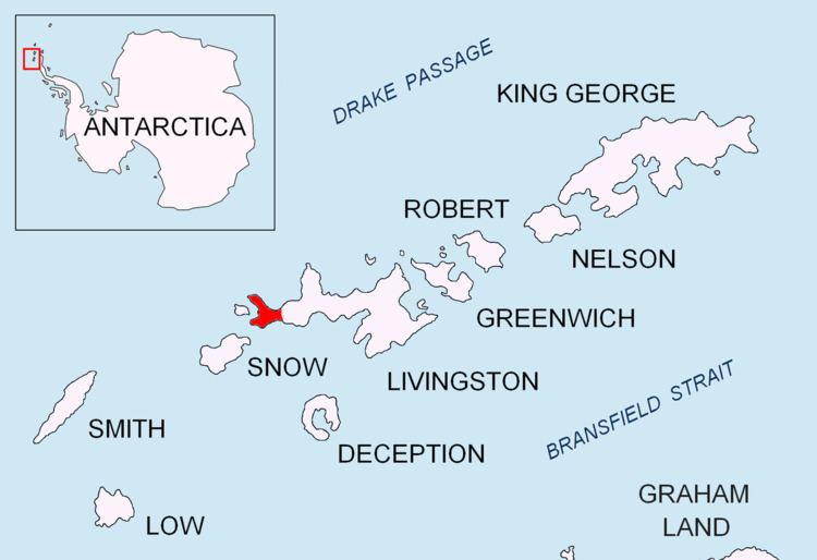
Lair Point is a point projecting 570 m into Barclay Bay from Robbery Beaches on Byers Peninsula, Livingston Island in the South Shetland Islands, Antarctica and forming the east side of the entrance to Kukuzel Cove. Dominated by Lair Hill (96 m).
Contents
The point is named descriptively from a large cave on the point used by the early 19th century sealers, relics of whose occupation were found by the Falkland Islands Dependencies Survey in 1957-58.
Location
The point is located at 62°36′54″S 61°02′07″W which is 1.16 km east-southeast of Villard Point and 2.94 km west of Nedelya Point (British mapping in 1968, detailed Spanish mapping in 1992, and Bulgarian mapping in 2005 and 2009).
Maps
References
Lair Point Wikipedia(Text) CC BY-SA