
Country Colombia Region Orinoquia Region Founded July 5, 1991 | Area 100,242 km2 Capital Puerto Carreno Population 68,575 | |
 | ||
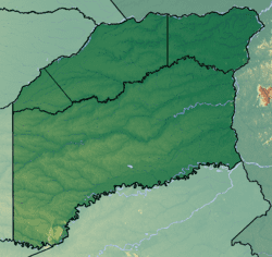
Map of Vichada Department
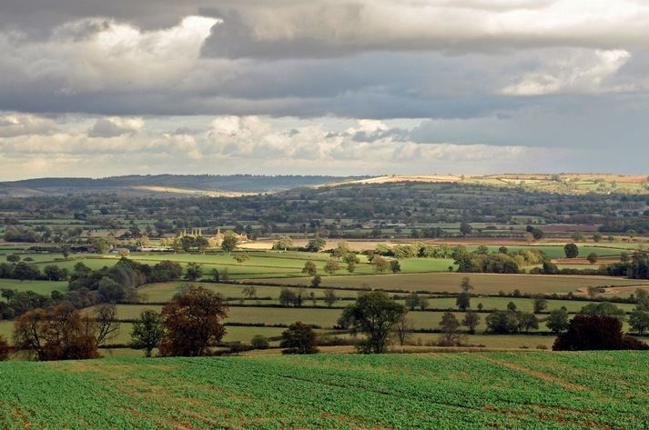
Vichada Department (Spanish: Departamento del Vichada, [biˈtʃaða]) is a department of the Republic of Colombia in South America. Vichada is located in the eastern plains of Colombia, in the Orinoquía Region within the Orinoco river basin bordering the Bolivarian Republic of Venezuela to the north and east. To the north the department also borders with Arauca Department, to the northwest with Casanare Department, to the west with Meta Department, to the southwest narrowly bordering with Guaviare Department and to the south with Guainía Department. The department is the second largest in Colombia and scarcely populated in comparison to other departments.
Contents

The department was previously a commissary established in 1913.

The largest town and capital of the department is Puerto Carreño located in extreme northeastern part of the department and bordering Venezuela. the department is subdivided into four municipalities; Puerto Carreño, La Primavera, Santa Rosalía and Cumaribo. It also contains 46 indigenous reserves and 6 communities.
Geography
The department is located on the eastern plains of Colombia known colloquially as the Llanos. The department limits to the north with the Arauca Department and the Bolivarian Republic of Venezuela; to the east with Venezuela; to the south with the Guainía Department and Guaviare Department; and to the west with Meta Department and Casanare Department.
The department is located to the left margin of the Orinoco River and the right margin of the Meta River within the plains of los Llanos. Part of the department lies on the Guiana Shield. Soil lacks sediments due to the lack of alluvions from rivers coming from the Andes mountains.
Climate in the department is predominantly hot and humid with an average temperature of 28 °C (82 °F) throughout the year.
History
In 1913 the government of Colombia created the commissary of Vichada and the capital was established in a locality known as El Picacho between the Meta and Orinoco rivers. The town was named Puerto Carreño in honor of Pedro María Carreño, then acting Minister of Government.
In August 1974, Puerto Carreño was elevated to the category of municipality by decree 1594 of that same year.
On July 5, 1991 Vichada was elevated to the category of department and Puerto Carreño as its capital.
Municipalities
- Cumaribo
- La Primavera
- Puerto Carreño
- Santa Rosalía