
Local time Friday 3:42 AM | Region Orinoquía Climate Am | |
 | ||
Website laprimavera-vichada.gov.co/ Weather 27°C, Wind N at 8 km/h, 57% Humidity | ||
La Primavera (literally meaning "The Spring" in Spanish) is a town and municipality located in the Department of Vichada, Colombia.
Contents
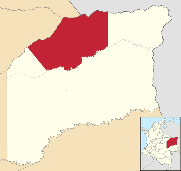
Map of La Primavera, Vichada, Colombia
Geography
The municipality of La Primavera borders to the north with the Bolivarian Republic of Venezuela with the Meta river as boundary; to the east with the municipality of Puerto Carreño; to the south with the municipality of Cumaribo and to the west with the municipality of Santa Rosalia.
The geography of La Primavera is predominantly flat as part of the Orinoquia region in the Llanos plains. The region is crossed by numerous rivers affluents of the Meta River basin. The municipality has a total area of 98,970 km² and the seat of the municipality covers an area of 54,789 km².
History
La Primavera was founded by colonizers from other regions of Colombia on July 15, 1959. In 1968 La Primavera became a Colombian National Police Inspection and later in 1972 became a corregimiento.
In 1987 La Primavera became a municipality, the second in the then Commissary of Vichada. In 1991, the commissary of Vichada became the Department of Vichada and La Primavera one of its municipalities.
Economy
Ranching is the main economic activity in the municipality of La Primavera. Agriculture is practiced for subsistence and produces mainly cotton, maize and plantain. The municipality is developing its artisan fishing, commercializing some 30 varieties of fish with the Colombian capital city Bogotá as destiny. The government is studying the possibility of exploiting titanium deposits as well as exploring oil fields.