
Time zone UTC-05 Area 72,238 km² | Region Amazon Region Area rank 5th Population 40,203 (2013) | |
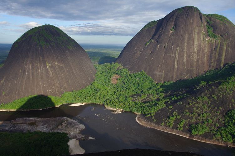 | ||
Guainía ([ɡwaiˈni.a]; Yuri language: Land of many waters) is a department of Colombia. It is in the east of the country, bordering Venezuela and Brazil. Its capital is Inírida. In 1963 Guainía was split off from Vaupés department. The northern part and the Inírida River are included in the Orinoco basin; the rest is part of the Amazon basin. The Guaviare River is the main area of colonization, many colonos come from the Colombian Andean zone, most of them from Boyacá. They are followed by the llaneros, people from the Eastern plains (Los Llanos). The main population is composed by Amerindians, the largest ethnic groups are the Puinaves (from the makú-puinave family) and the curripacos (from the Arawak family). There are a total of 24 ethnic groups in the department, many of them speak four Indian languages besides Spanish and Portuguese.
Contents
Map of Guainia, Colombia
Municipalities
There's only one municipality in Guainía: Inírida, its capital. The rest of the territory is subdivided in corregimientos departamentales, a pending figure due to public disorder. This case happens only in Amazonas, Vaupés and Vichada. Barranco Minas is the second biggest population and its main corregimiento; it is located in the Guaviare River.
The Guainía corregimientos are: