
Length 73.14 km | ||
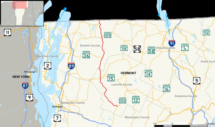 | ||
Vermont Route 108 is a north–south state highway in northern Vermont, United States. Its southern terminus is at VT 100 in Stowe, and its northern terminus is at the Canada–US border in Franklin, where it continues into Quebec past the West Berkshire–Frelighsburg Border Crossing as Route 237. VT 108 is 45.450 miles (73.145 km) long.
Contents
Map of Vermont Rte 108, Bakersfield, VT, USA
Route description
VT 108 passes through the area of the Mount Mansfield State Forest. It starts in Stowe and goes through Smugglers' Notch to Jeffersonville. The road cuts through Mount Mansfield. The road is very steep and turning, making it impossible to plow in the winter, so the road is closed usually from mid-October until May. Tractor-trailers are barred from this section, and large straight trucks, buses and RVs are strongly encouraged to find other routes year-round. However, skiers come from alternate routes to cross-country, downhill ski, and snow mobile in the Smuggler's Notch Resort. Along the road, there are small parking areas where rock climbing and hiking are popular.