Rahul Sharma (Editor)

Vergilov Rocks

Updated on
Edit
Like
Comment
Share on FacebookTweet on TwitterShare on LinkedInShare on Reddit
Location
  
Antarctica

Archipelago
  
South Shetland Islands

Population
  
0

Vergilov Rocks

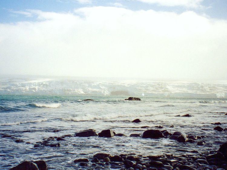
Vergilov Rocks (Vergilov Kamak ver-'gi-lov 'ka-m&k) are a group of rocks off Bulgarian Beach on Hurd Peninsula in eastern Livingston Island in the South Shetland Islands, Antarctica, consisting of one main rock and two adjacent smaller ones submerging at high water.

Contents

Map of Vergilov Rocks, Antarctica

The rocks are named after Zlatil Vergilov, a member of the 1988 Bulgarian party on Livingston Island, base commander at St. Kliment Ohridski in the 1996-99 seasons.

Location

The rocks are located at 62°38′24″S 60°22′12″W which is 510 m (560 yd) northeast of Hespérides Point, 310 m (340 yd) west by south of Greenpeace Rock, and 100 m (110 yd) from the coast in front of the Bulgarian base (British mapping in 1968, Bulgarian mapping from a 1995-1996 topographic survey).

Maps

  • L.L. Ivanov. St. Kliment Ohridski Base, Livingston Island. Scale 1:1000 topographic map. Sofia: Antarctic Place-names Commission of Bulgaria, 1996. (The first Bulgarian Antarctic topographic map, in Bulgarian)
  • L.L. Ivanov. Livingston Island: Central-Eastern Region. Scale 1:25000 topographic map. Sofia: Antarctic Place-names Commission of Bulgaria, 1996.
  • L.L. Ivanov et al. Antarctica: Livingston Island and Greenwich Island, South Shetland Islands. Scale 1:100000 topographic map. Sofia: Antarctic Place-names Commission of Bulgaria, 2005.
  • L.L. Ivanov. Antarctica: Livingston Island and Greenwich, Robert, Snow and Smith Islands. Scale 1:120000 topographic map. Troyan: Manfred Wörner Foundation, 2009. ISBN 978-954-92032-6-4
  • References

    Vergilov Rocks Wikipedia