
 | ||
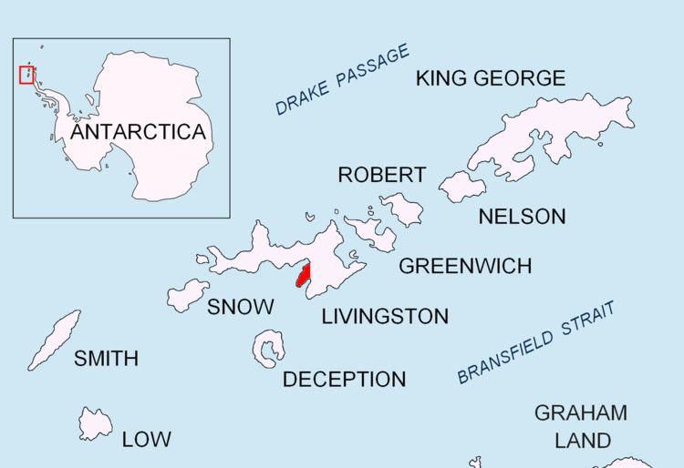
Bulgarian Beach (Balgarsko Kraybrezhie \'b&l-gar-sko krI-'bre-zhi-e) is a coast in the north part of Hurd Peninsula, eastern Livingston Island, extending 2.3 km from Hespérides Point to the southwest to Perunika Glacier to the northeast, and forming the southeast coast of Emona Anchorage.
Contents
Map of Bulgaria
The beach comprises four predominantly boulder beaches, separated by a shore rock known locally as Greenpeace Rock, which rises to 6m and is located 800 m northeast of Hespérides Point, by Spanish Point and by a minor nameless point lying 400 m to east by northeast of the latter. The last beach is a narrow strip under the cliff of a part of Perunika Glacier terminating on the coast. Bulgarian Beach is surmounted by a chain of five hills comprising Hesperides Hill, Pesyakov Hill, Sinemorets Hill, Spanish Knoll and Belozem Hill. In summer the area is predominantly snow-free and crossed by four meltwater streams draining the north-western slope of the Balkan Snowfield, with stream mouths located at the western extremities of each beach. The first beach, locally known as Base Beach, is partly occupied by Grand Lagoon formed by Rezovski Creek. Access by dinghies to Base Beach, used for transfer of people and cargo to the Bulgarian base St. Kliment Ohridski, is sometimes rendered difficult by shallow waters.
The area would have been known and possibly visited in the early nineteenth century by English and American sealers frequenting South Bay and particularly the nearby Johnsons Dock.
Location
The beach is centred at 62°38′12″S 60°21′36″W. Bulgarian Beach was mapped in detail by the Spanish Servicio Geográfico del Ejército in 1991 following earlier British, Argentine and Chilean mappings. Bulgarian mapping of Bulgarian Beach and the Emona Anchorage coast from a topographic survey carried out from 8 December 1995 to 8 February 1996, and mapping of the St. Kliment Ohridski Base vicinity at a larger scale from a topographic survey made from January 31 to February 4, 1996.