
Elevation 153 m Local time Friday 2:18 PM | GNIS feature ID 453495 Area 137.6 km² Population 1,814 (2010) | |
 | ||
ZIP codes 47564, 47567, 47590, 47598 Weather 6°C, Wind NW at 27 km/h, 36% Humidity | ||
Jefferson Township is one of nine townships in Pike County, Indiana, United States. As of the 2010 census, its population was 1,814 and it contained 825 housing units.
Contents
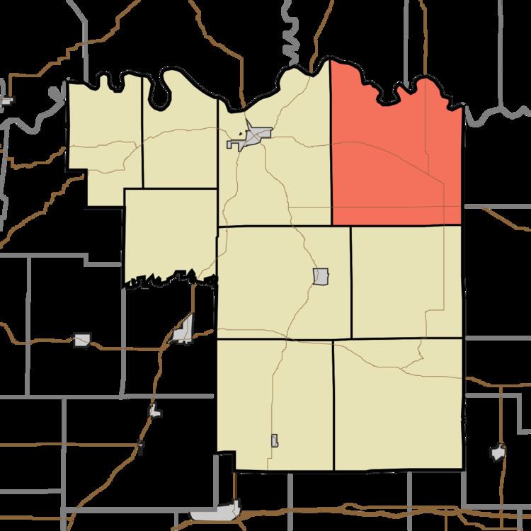
- Map of Jefferson Township IN USA
- Geography
- Unincorporated towns
- Cemeteries
- Major highways
- School districts
- Political districts
- References
Map of Jefferson Township, IN, USA
Geography
According to the 2010 census, the township has a total area of 53.13 square miles (137.6 km2), of which 52.51 square miles (136.0 km2) (or 98.83%) is land and 0.63 square miles (1.6 km2) (or 1.19%) is water. The White River defines the township's north border, as well as the north border of Pike County.
Unincorporated towns
(This list is based on USGS data and may include former settlements.)
Cemeteries
The township contains these eight cemeteries: Arnold, Bluff, Case, Chapel, Independent Order of Odd Fellows, Logan, McClure and Willis.
Major highways
School districts
Political districts
References
Jefferson Township, Pike County, Indiana Wikipedia(Text) CC BY-SA