
GNIS feature ID 454013 Area 116.9 km² Population 4,460 (2010) | ZIP codes 47567, 47598 Elevation 144 m Local time Saturday 11:38 PM | |
 | ||
Weather 14°C, Wind SE at 11 km/h, 43% Humidity | ||
Washington Township is one of nine townships in Pike County, Indiana, United States. As of the 2010 census, its population was 4,460 and it contained 2,000 housing units.
Contents
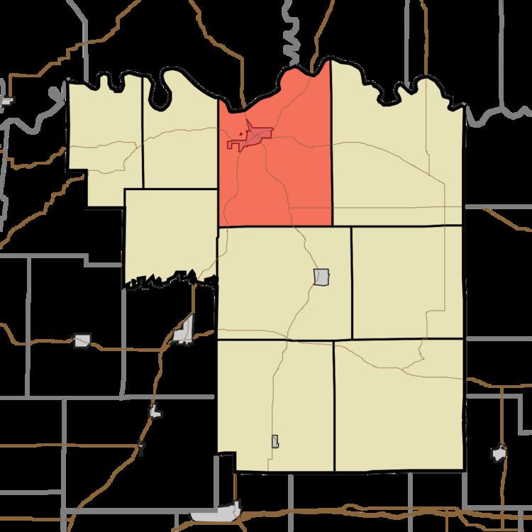
- Map of Washington Township IN USA
- Geography
- Cities towns villages
- Unincorporated towns
- Cemeteries
- Major highways
- Airports and landing strips
- Lakes
- School districts
- Political districts
- References
Map of Washington Township, IN, USA
Geography
According to the 2010 census, the township has a total area of 45.12 square miles (116.9 km2), of which 44.09 square miles (114.2 km2) (or 97.72%) is land and 1.03 square miles (2.7 km2) (or 2.28%) is water. The White River defines the township's northern border, as well as the northern border of Pike County.
Cities, towns, villages
Unincorporated towns
(This list is based on USGS data and may include former settlements.)
Cemeteries
The township contains these eight cemeteries: Indian Mound, Johnson, Morrison, Old Town, Old Union, Stuckey, Walnut Hill and Walnut Hill.
Major highways
Airports and landing strips
Lakes
School districts
Political districts
References
Washington Township, Pike County, Indiana Wikipedia(Text) CC BY-SA