County Daviess FIPS code 18-62712 Elevation 187 m Zip code 47562 Population 141 (2010) | State Indiana GNIS feature ID 441729 Area 220 ha Local time Thursday 6:49 AM | |
 | ||
Weather 0°C, Wind E at 13 km/h, 61% Humidity | ||
Raglesville is an unincorporated community and census-designated place (CDP) in Van Buren Township, Daviess County, Indiana, United States. As of the 2010 census it had a population of 141.
Contents
Map of Raglesville, IN 47562, USA
History
Raglesville was laid out in 1837. A post office was established at Raglesville in 1849, and remained in operation until it was discontinued in 1923. John Ragle was the first postmaster.
Geography
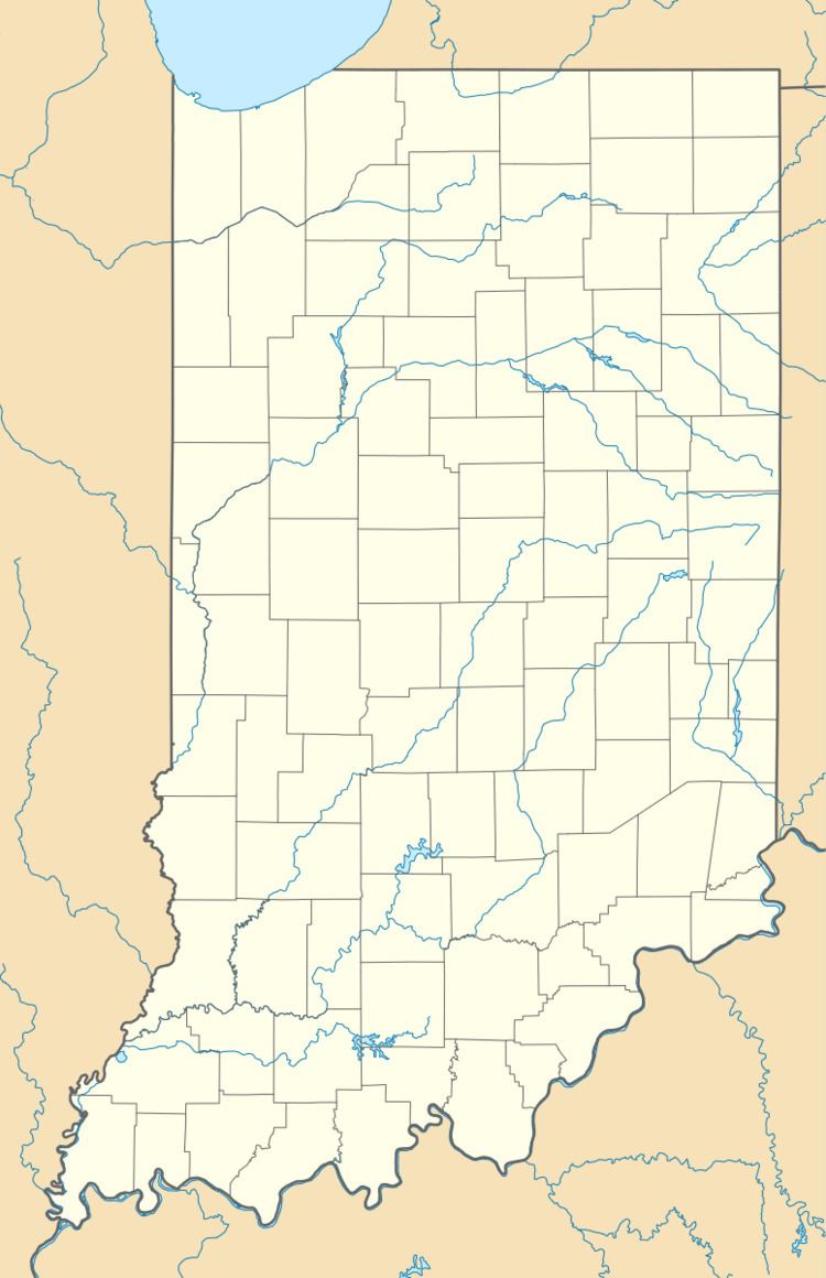
Raglesville is located in northeastern Daviess County at 38°48′12″N 86°57′41″W. It is 4 miles (6 km) southeast of Odon and 21 miles (34 km) northeast of Washington, the county seat.
According to the U.S. Census Bureau, the Raglesville CDP has an area of 0.85 square miles (2.2 km2), all of it land.
References
Raglesville, Indiana Wikipedia(Text) CC BY-SA
