
Elevation 3,250 m | ||
 | ||
Similar Loveland Pass, Eisenhower Tunnel, Rocky Mountains, Shrine Pass, Copper Mountain | ||
I 70 colorado vail pass
Vail Pass is a 10,662 feet (3,250 m) high mountain pass in the Rocky Mountains of central Colorado. The pass was named for Charles Vail, a highway engineer.
Contents
- I 70 colorado vail pass
- Map of Vail Pass Colorado 80443 USA
- 2k14 ep 10 i 70 west in colorado vail pass summit
- RecreationEdit
- References
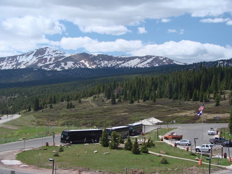
Map of Vail Pass, Colorado 80443, USA
Vail Pass lies on the boundary between Eagle and Summit counties, between Vail on the west and Copper Mountain on the east. It provides the route of Interstate 70 (and earlier U.S. Highway 6) between the upper basins of the Eagle River and the Blue River, both tributaries of the Colorado River. Black Gore Creek, a tributary of Gore Creek, in the watershed of the Eagle, descends from the north side of the pass towards the town of Vail. West Tenmile Creek, in the watershed of the Blue, descends from the south side. The pass is significantly steep on either side (7 to 8%), and two runaway truck ramps are available on the west bound side for trucks.
The pass was not a traditional historical route of the Rockies. Prior to 1940, the most common route westward was over nearby Shrine Pass, just to the south, which leads to the town of the Red Cliff in the upper Eagle Valley. In 1940, the construction of U.S. Highway 6 bypassed Shrine Pass in favor of the current route to the valley of Gore Creek.
2k14 ep 10 i 70 west in colorado vail pass summit
RecreationEdit
A bike path parallels I-70 from Vail Colorado to the Copper Mountain Ski Area and is the only pass in Colorado with a paved bike path on both sides for the entire distance. This 8.7 mile climb from East Vail with an 1,831 foot (558m) vertical gain and descent to Copper is a popular activity for cyclists during the summer and fall. This route leads to several other bike paths in Summit County. During the winter months the area hosts backcountry skiing and snowmobile activities.