
Length 752 km | ||
 | ||
East end: US 6 at Nebraska state line | ||
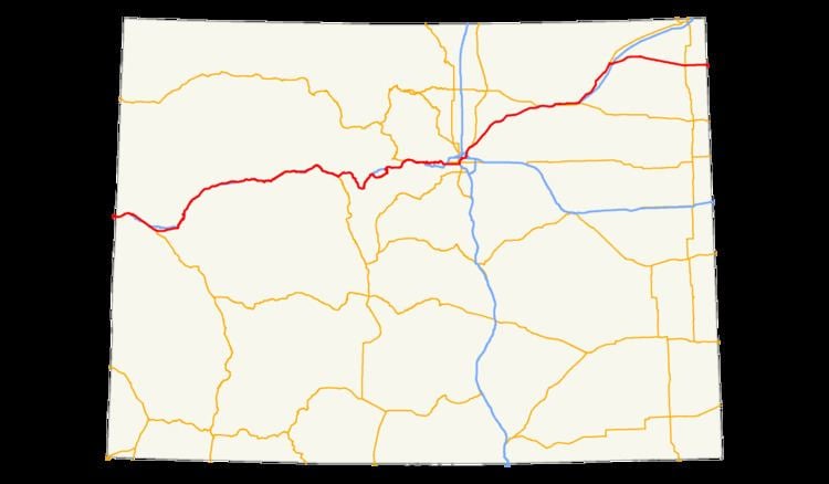
In the U.S. state of Colorado, U.S. Route 6 (US 6) is an east–west highway stretching from Utah to Nebraska. Much of the route overlaps other highways in Colorado, and as a result, much of US 6 is unsigned.
Route description
US 6 is concurrent with Interstate 70 for a significant portion of its length from the Utah state line to Denver. When the highway enters the western Denver suburbs, US 6 coincidentally aligns with 6th Avenue in the grid system, where it is known as 6th Avenue Freeway. Once it reaches Interstate 25, US 6 travels north briefly, then follows Interstate 76 for most of its length east of Denver. It is unsigned while it is overlapped. The highest altitude along US 6 is 11,990 feet (3,650 m) at Loveland Pass, where it crosses the Continental Divide. It continues down Clear Creek Valley until it reaches I-70, where it is briefly overlapped until I-70 leaves Clear Creek Valley. US 6 continues down Clear Creek and into Denver, where it turns into a freeway with 6 lanes. East of Denver, it continues east while joined with I-76 until it reaches Sterling, where it diverges from the interstate. The last town in Colorado it passes is Holyoke.