
- elevation 7,342 ft (2,238 m) Basin area 1,761 km² | - elevation 12,800 ft (3,901 m) - average 447 cu ft/s (13 m/s) Length 105 km | |
 | ||
Bridges Slate Creek Bridge, Dolores River Bridge | ||
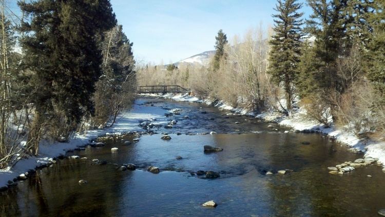
The Blue River is a tributary of the Colorado River, approximately 65 miles (105 km) long, in the U.S. state of Colorado.
Map of Blue River, Colorado, USA
It rises in southern Summit County, on the western side of the continental divide in the Ten Mile Range, near Quandary Peak. It flows north past Blue River and Breckenridge, then through the Dillon Reservoir near Dillon. North of Dillon it flows NNW along the eastern slope of the Gore Range and joins the Colorado at Kremmling.
The Green Mountain Dam, 13 miles (21 km) upstream from Kremmling, forms the Green Mountain Reservoir, providing hydroelectric power and diversionary water for irrigation, as part of the Colorado-Big Thompson Project. The dam is a project of the United States Bureau of Reclamation.
References
Blue River (Colorado) Wikipedia(Text) CC BY-SA