
Length 95 km (59 mi) Highest elevation 9,373 ft (2,856.9 m) Area 4,070 km² | Width 116 km (72.1 mi) | |
 | ||
Island groups Aleutian Islands, Fox Islands | ||
F v lone star slime banks unimak island ak 2012
Unimak Island (Aleut: Unimax) is the largest island in the Aleutian Islands chain of the U.S. state of Alaska.
Contents
- F v lone star slime banks unimak island ak 2012
- Map of Unimak Island Alaska USA
- Geography
- Natural history
- Buildings
- References
Map of Unimak Island, Alaska, USA
Geography
It is the easternmost island in the Aleutians and, with an area of 1,571.41 square miles (4,069.93 square kilometres), the ninth largest island in the United States and the 134th largest island in the world. It is home to Mount Shishaldin, one of the ten most active volcanoes in the world. According to the United States Census Bureau, there were 64 people living on Unimak as of the 2000 census, all of them in the city of False Pass at the eastern end of the island. Cape Lutke is a headland on the island.
The Fisher Caldera is a volcanic crater in the west-central part of Unimak. Some characteristics include many volcanic cones and undrained lakes. It is named for Bernard Fisher, a U.S. Geological Survey geologist who was killed in Umnak Pass.
Mount Westdahl, 5,426 feet (1,654 m) in elevation, is a stratovolcano of the Aleutian Range on the island.
Natural history
When the Alaska National Interest Lands Conservation Act was passed on 2 December 1980, 910,000 acres (370,000 ha) of the island was designated as wilderness. This area is managed by the United States Fish and Wildlife Service.
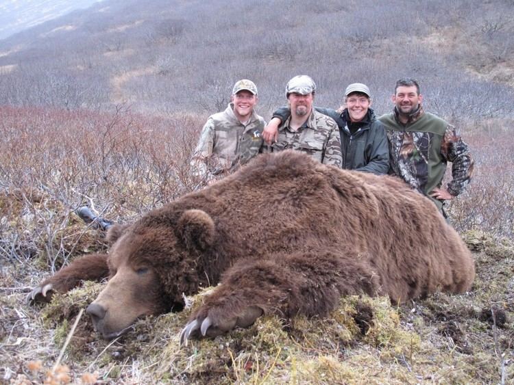
As a faunal extension of the Alaska Peninsula, Unimak has a relatively diverse assemblage of terrestrial mammals, including Alaskan brown bears and caribou. West of Unimak Island, the largest native mammal in the Aleutians is the red fox.
Buildings
Scotch Cap Lighthouse was built in 1903 and was manned by the US Coast Guard. On April 1, 1946, during the 1946 Aleutian Islands earthquake, the lighthouse was struck by a tsunami. Even though the lighthouse was 98 feet (30 m) above the sea, the lighthouse slid into the sea, killing five Coast Guard personnel.
Cape Sarichef Lighthouse is also on the island.