
Topo map USGS Unimak C4 Volcanic arc/belt Aleutian Arc Elevation 1,112 m Parent range Aleutian Range | Last eruption August 1830 Mountain range Aleutian Range | |
 | ||
Similar Mount Westdahl, Isanotski Peaks, Mount Shishaldin, Mount Emmons, Mount Dutton | ||
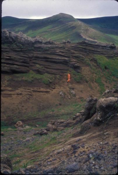
Fisher Caldera, also known as Mount Fisher and Fisher Volcano, is a large volcanic caldera, measuring about 6.8 miles (11 km) by 11 miles (18 km), located on Unimak Island in the Aleutian Islands of Alaska. Formed by the destructive eruption of an andesitic stratovolcano about 9,100 years ago, it contains three crater lakes, one 2 miles (3.2 km) wide and two others about 1.5 miles (2.4 km) wide. Small peaks rising 2,000 feet (600 m) and 2,031 feet (619 m) are also present in the caldera. Fisher Caldera is located just 13 miles (21 km) from the Mount Westdahl volcano.
Map of Fisher Caldera, Alaska, USA
References
Fisher Caldera Wikipedia(Text) CC BY-SA