
Max. length 320 km (200 mi) | Basin countries Canada Max. width 260 km (160 mi) | |
 | ||
Surface area ca. 50,000 km (19,000 sq mi) References "Ungava Bay", Encyclopædia Britannica, 15th edition (1992), Vol. 12, p. 129 | ||
Ungava bay
Ungava Bay (French: baie d'Ungava, Inuktitut (syllabics/Roman) ᐅᖓᕙ ᑲᖏᖅᓗᒃ/ungava kangiqluk) is a large bay in northeastern Canada separating Nunavik (far northern Quebec) from Baffin Island. The bay is roughly oval-shaped, about 260 km (160 mi) at its widest point and about 320 km (200 mi) in length; it has an area of approximately 50,000 km2 (19,000 sq mi). It is generally fairly shallow, under 150 m (490 ft), though at its border with the Atlantic Ocean depths of almost 300 m (980 ft) are reached.
Contents
Map of Ungava Bay, Canada
Geography
There are a number of islands within Ungava Bay. The largest, Akpatok Island, and others north of 60°N are part of the territory of Nunavut, while smaller islands south of 60°N belong to Quebec.
Although it is quite close to the open Atlantic (separated only by Hudson Strait), Ungava Bay is generally considered part of the Arctic Ocean because the land surrounding it has an exceedingly cold climate. Ungava Bay is separated from Hudson Bay by the Ungava Peninsula. Bathymetric studies suggest Ungava Bay may be the remnant of an impact crater (age unknown) approximately 225 km in diameter.
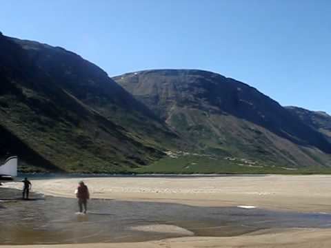
The southwestern corner of Ungava Bay, along with Bay of Fundy, has either the highest or second-highest tidal ranges in the world. Some sources estimate the spring tide range at the mouth of the Leaf River as being as high as 17 m (56 ft). Attempts have been made to develop tidal power in the bay, but this is made difficult by the harsh climate and the fact that the bay is ice-free for only a small part of the year.
Climate
Due to the influence of the Labrador Current, summers are too cold for tree growth and all the land surrounding the bay is treeless tundra. Typically, temperatures in summer at Kuujjuaq about twenty kilometres up the Koksoak River are about 7 °C (45 °F), while winter temperatures are about −20 °C (−4 °F). Precipitation averages around 400–450 mm (16–18 in) per year, most of it falling in the summer.
Human development
Ungava Bay is surrounded by numerous Inuit villages, the largest of which is Kuujjuaq, Quebec, at the mouth of the Koksoak River. Iron ore has been mined in the past, but despite the high grade of the ores the impossibility of cheap transportation meant that mining was discontinued in 1980. Traditional Inuit hunting activities still dominate the region's life, along with expensive adventure tourism.