District Mewat PIN 122107 Elevation 194 m Area code 1267 | Time zone IST (UTC+5:30) Telephone Code 1267 Local time Friday 12:15 AM ISO 3166 code ISO 3166-2:IN | |
 | ||
Weather 29°C, Wind W at 6 km/h, 36% Humidity | ||
Ujina is located at Hodal-Nuh road in National Capital Region of Delhi (NCR), in Mewat district (formerly Gurgaon) in Haryana.
Contents
- Map of Ujina Haryana 122107
- History
- Geography
- Climate
- Demographics
- Transportation
- Schools
- Nearby colleges
- Banking facilities
- Nearby cities and towns
- References
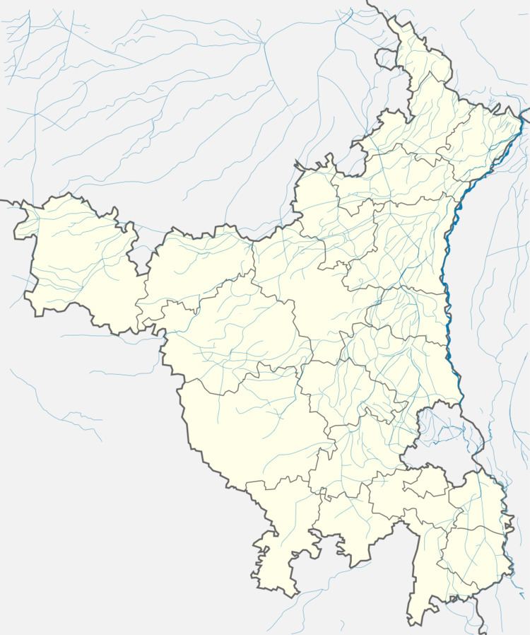
Map of Ujina, Haryana 122107
History
Ujina village was found by baba baijal in nearly 1057 AD or 1000 years ago by baba baijal. An old story of existence of ujina village claims as, long time ago it was drought in nearby area. There were no any rain or water miles away. Everyone was looking for hope. They saw a bull goes somewhere early in the morning and comes back muddy. It was the sign of hope of those people. So they decided to follow him. After following him, they reached ujina and saw that bull was doing rest in the pond. With the help of the bull they came here and those were the starting days of ujina.
Geography
Ujina is located at 28.04°N 77.08°E / 28.04; 77.08. It has an average elevation of 194 metres (636 feet). It is 83 km from the capital New Delhi. It is located in the far south west area of Haryana.
Climate
Climate in Ujina is Extreme. Lowest Temperature: 3-5 degrees Highest Temperature: 44-45 degrees
Demographics
As of 2011 India census, The Ujina village has population of 8397 of which 4427 are males while 3970 are females as per Population Census 2011. Literacy rate of Ujina village is 79.77 %. In Ujina Male literacy stands at 84.10 % while female literacy rate is 69.41 %. In Ujina village population of children with age 0-6 is 1418 which makes up 16.89 % of total population of village.
Transportation
Ujina is situated on the Nuh Hodal highway. A frequent bus service is provided by Haryana Roadways. Nearest airport is IGI airport, New Delhi. Nearest railway station is Palwal (34 km) and Gurgaon (58 km).
