
Country Area 22.10 km2 Population 100,722 (2001) | Language spoken State | |
 | ||
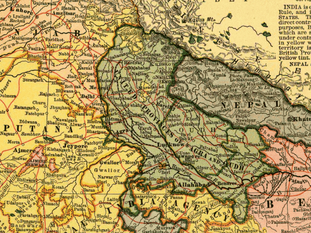
Map of Palwal
Palwal is a city and a municipal council. It is the headquarters of Palwal district, the 21st district of Haryana state in northern India. It is a centre for the cotton trade in the area.
Contents
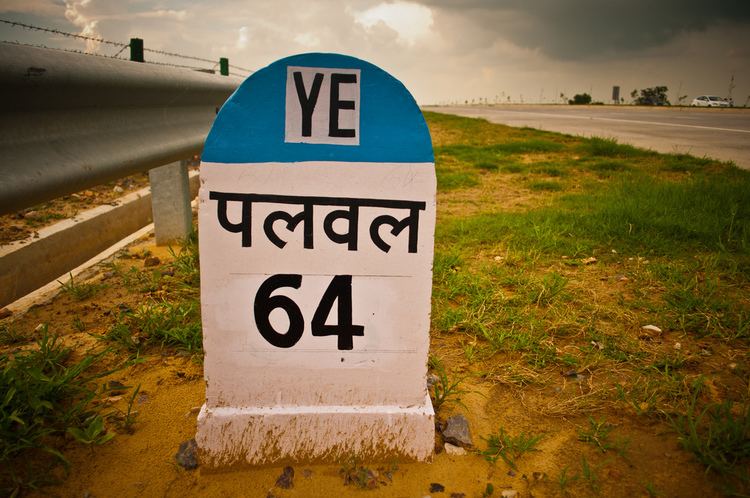
Palwal is 60 kilometres (37 mi) from Delhi, 313 kilometres (194 mi) from Chandigarh and 143 kilometres (89 mi) from Agra.The latitude of the town is 28° 40' N and longitude is 76° 59' E. The area of town is 22.10 square kilometres (8.53 sq mi).
The local tradition identifies Palwal with the Apelava town mentioned in the Mahabharata, which was later restored by Vikramaditya.
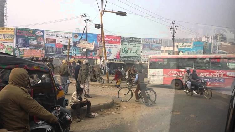
Driving through palwal india
Geography
Palwal is located at 28.12°N 77.33°E / 28.12; 77.33. It has an average elevation of 195 metres (640 ft).
Demographics
As of 2011 India census, Palwal had a population of 1,042,708. Males constitute 53.12% of the population and females 46.88%. However caste with highest population in area are Gurjars (Baisla) clan, Jats, Rajputs, Punjabi and Brahmins. Palwal has an average literacy rate of 70.32%, higher than the national average of 65.5%: male literacy is 78.92%, and female literacy is 67.87%. In Palwal, 12.95% of the population is under 6 years of age.
Post-independence
On 15 August 1979, Gurgaon district was further divided to form a new Faridabad district, and Palwal became a part of it. On 15 August 2008, Palwal became the administrative headquarters of the newly formed Palwal district, 21st district of Haryana.