Suvarna Garge (Editor)

Ugain Point

Updated on
Edit
Like
Comment
Share on FacebookTweet on TwitterShare on LinkedInShare on Reddit
Ugain Point

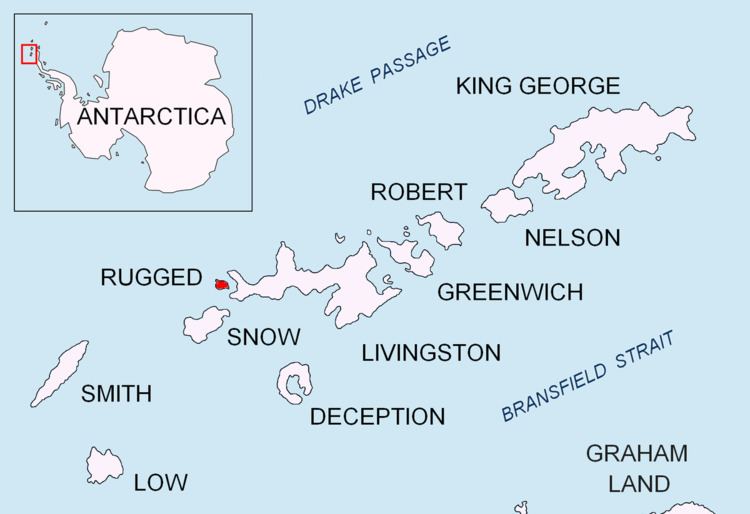
Ugain Point (Bulgarian: нос Угаин, ‘Nos Ugain’ \'nos u-ga-'in) is the point on the west coast of Rugged Island in the South Shetland Islands, Antarctica separating Smyadovo Cove to the north and Bogomil Cove to the south. Situated 1.76 km north-northwest of Benson Point, 970 m north of Kokalyane Point and 1.55 km south of Cape Sheffield.

Contents

The point is named after the Bulgarian ruling dynasty of Ugain (8th century).

Location

Ugain Point is located at 62°37′39.9″S 61°17′57″W. British mapping in 1968, Spanish in 1992, and Bulgarian in 2005, 2009 and 2010.

Maps

  • Península Byers, Isla Livingston. Mapa topográfico a escala 1:25000. Madrid: Servicio Geográfico del Ejército, 1992.
  • L.L. Ivanov et al. Antarctica: Livingston Island and Greenwich Island, South Shetland Islands. Scale 1:100000 topographic map. Sofia: Antarctic Place-names Commission of Bulgaria, 2005.
  • L.L. Ivanov. Antarctica: Livingston Island and Greenwich, Robert, Snow and Smith Islands. Scale 1:120000 topographic map. Troyan: Manfred Wörner Foundation, 2009. ISBN 978-954-92032-6-4
  • References

    Ugain Point Wikipedia