
Time zone IST (UTC+5:30) Area 2,908 km² | Headquarters Rudrapur Vehicle registration UK 06, UK 18 | |
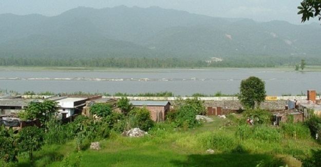 | ||
Points of interest Atariya Mandir, Lake Paradise Destinations Colleges and Universities G B Pant University of Agricult, Indian Institute of Manage, College of Technology - Pantnagar | ||
Udham Singh Nagar district (Hindi: ऊधम सिंह नगर ज़िला) is a district of Uttarakhand state in northern India. Rudrapur is the district headquarters. This district consists of seven Tehsils named Bajpur, Gadarpur, Jaspur, Kashipur, Kichha, Khatima, Sitarganj. The district is located in the Terai region, and is part of Kumaon Division. It is bounded on the north by Nainital District, on the northeast by Champawat District, on the east by Nepal, and on the south and west by Uttar Pradesh state. The district was created in October 1995 by Mayawati government out of Nainital District. It is named for freedom fighter and Indian revolutionary Shaheed-i-Azam Sardar Udham Singh.
Contents
- Map of Udham Singh Nagar Uttarakhand
- Tehsils in Udham Singh Nagar district
- Cities in Udham Singh Nagar district
- Demographics
- References
Map of Udham Singh Nagar, Uttarakhand
As of 2011 it is the third most populous district of Uttarakhand (out of 13), after Haridwar and Dehradun.
G.B. Pant University, noted for its engineers & agriculture scientists, is located 5 km from Rudrapur.
Tehsils in Udham Singh Nagar district
- Jaspur
- Kashipur
- Bajpur
- Gadarpur
- Rudrapur
- Kichha
- Sitarganj
- Nanakmatta
- Khatima
Cities in Udham Singh Nagar district
- Jaspur
- Kashipur
- Bajpur
- Gularbhoj
- Barakhera
- Gadarpur
- Dineshpur
- Rudrapur
- Pantnagar
- Kichha
- Sitarganj
- Nanakmatta
- Khatima
- Mahua Dabra
- Mahua Kheda Ganj
- Sultanpur Patti
- Kila Kheda
Demographics
According to the 2011 census Udham Singh Nagar district has a population of 1,648,367, roughly equal to the nation of Guinea-Bissau or the US state of Idaho. This gives it a ranking of 303rd in India (out of a total of 640). The district has a population density of 648 inhabitants per square kilometre (1,680/sq mi) . Its population growth rate over the decade 2001-2011 was 33.4%. Udham Singh Nagar has a sex ratio of 919 females for every 1000 males, and a literacy rate of 74.44%.