
 | ||
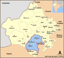
Mewar or Mewāḍ (Hindi: मेवाड़) is a region of south-central Rajasthan state in western India. It includes the present-day districts of Bhilwara, Chittorgarh, Rajsamand, Udaipur,Pirawa Tehsil District Jhalawar of Rajasthan and Neemuch, Mandsaur of Madhya Pradesh and some parts of Gujarat.
Contents
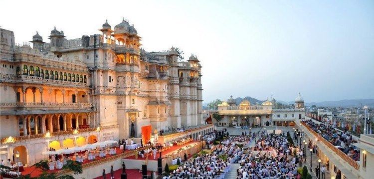
- Prince lakshyaraj singh mewar at maharana pratap jayanti 2013
- Geography
- History
- Title of Maharana
- Economy
- Tourism
- References
The region was for centuries a Rajput kingdom, the Mewar Kingdom or Udaipur Kingdom, that later became a princely state under the British.
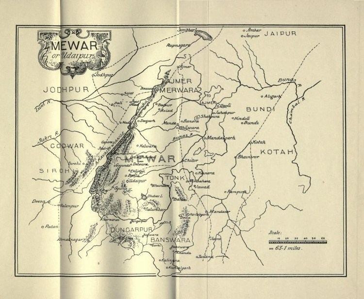
It was originally called Medhpaat and Lord Shiva (Ekling Nath) is called Medhpateshwar (Lord of Medhpaat). Over time, the name Medhpath became Mewar. The Mewar region lies between the Aravali Range to the northwest, Ajmer to the north, Gujarat and the Vagad region of Rajasthan to the south, the Malwa region of Madhya Pradesh state to the southeast and the Hadoti region of Rajasthan to the east.
Prince lakshyaraj singh mewar at maharana pratap jayanti 2013
Geography
The northern part of Mewar is a gently sloping plain, drained by the Bedach and Banas River and its tributaries, which empty northwest into the Chambal River, a tributary of the Yamuna River. The southern part of the region is hilly, and marks the divide between the Banas and its tributaries and the headwaters of the Sabarmati and Mahi rivers and their tributaries, which drain south into the Gulf of Khambhat through Gujarat state. The Aravalli Range, which forms the northwestern boundary of the region, is composed mostly of sedimentary rocks, like marble and Kota Stone, which has traditionally been an important construction material.
The region is part of the Kathiawar-Gir dry deciduous forests' ecoregion. Protected areas include the Jaisamand Wildlife Sanctuary, the Kumbhalgarh Wildlife Sanctuary, the Bassi Wildlife Sanctuary and the Sita Mata Wildlife Sanctuary.
Mewar has a tropical climate. Rainfall averages 660 mm/year, and is generally higher in the southwest and lower in the northeast of the region. Over 90% of the rain typically falls in the period June to September every year, during the southwest monsoon.
History
The Udaipur State, also known as Mewar Kingdom, was a princely state in India at the time of the British Raj.
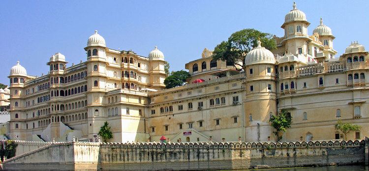
The state of Mewar was founded around 530; later it would also, and ultimately predominantly, called Udaipur after the name of the capital. In 1568, Emperor Akbar conquered Chittorgarh, the capital of Mewar. It remained in Mughal hands for about 150 years. When Udaipur State joined the Indian Union in 1949 it had been ruled by the Chattari Rajputs of Mori, Guhilot and Sisodia dynasties for over 1,400 years. Chittaurgarh was the capital of Sisodia clans of Rajputs of Mewar.
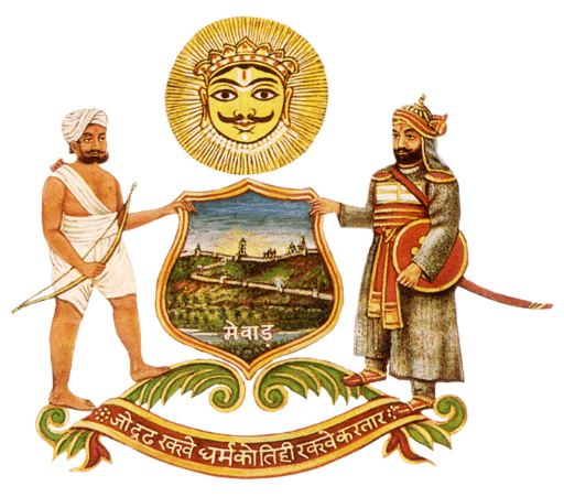
Title of Maharana
The Mewarian rulers used the title "Maharana" (Prime Minister or Custodian) instead of the typical title "Maharaja" (Great King or Emperor) as they merely believed themselves to be custodians of the Hindu civilization epitomized in the temple of Eklingji, a manifestation of Lord Shiva.
Economy
The economy of the Mewar region relies primarily on tourism, the marble and stone industry, mining, handicrafts, zinc smelters, cement and tyre factories, as well as agriculture. Major crops include maize, groundnut, soybean, wheat, and mustard. Opium is also grown in the adjoining regions of the southeast (Pratapgarh and Nimbahera). Fishery also thrives in the region's various lakes, supported by a government fisheries department.