
ZIP codes 50439, 50449, 50457 Elevation 380 m Local time Friday 6:00 AM | Time zone CST (UTC-6) GNIS feature ID 0467404 Area 92.93 km² Population 387 (2000) | |
 | ||
Weather -11°C, Wind E at 0 km/h, 90% Humidity | ||
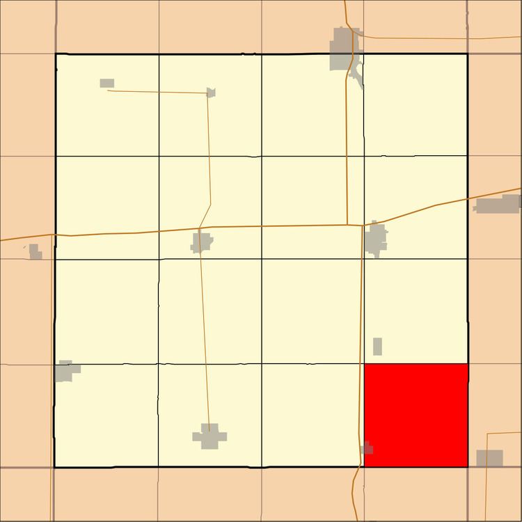
Avery Township is one of sixteen townships in Hancock County, Iowa, USA. As of the 2000 census, its population was 387.
Contents
- Map of Avery IA USA
- History
- Geography
- Cities towns villages
- Adjacent townships
- Cemeteries
- Landmarks
- School districts
- Political districts
- References
Map of Avery, IA, USA
History
Avery Township was named for Anson Avery, a pioneer settler.
Geography
According to the United States Census Bureau, Avery Township covers an area of 35.88 square miles (92.94 square kilometers); of this, 35.84 square miles (92.82 square kilometers, 99.87 percent) is land and 0.04 square miles (0.11 square kilometers, 0.12 percent) is water.
Cities, towns, villages
Adjacent townships
Cemeteries
The township contains Amsterdam & Calvary Cemeteries.
Landmarks
School districts
Political districts
References
Avery Township, Hancock County, Iowa Wikipedia(Text) CC BY-SA