
Country United States GNIS feature ID 0468800 Area 91.17 km² Population 202 (2000) | Time zone CST (UTC-6) Elevation 440 m Local time Monday 12:33 AM | |
 | ||
ZIP codes 51334, 51342, 51364, 51365 Weather 4°C, Wind W at 6 km/h, 95% Humidity | ||
Twelve Mile Lake Township is one of twelve townships in Emmet County, Iowa, USA. As of the 2000 census, its population was 202.
Contents
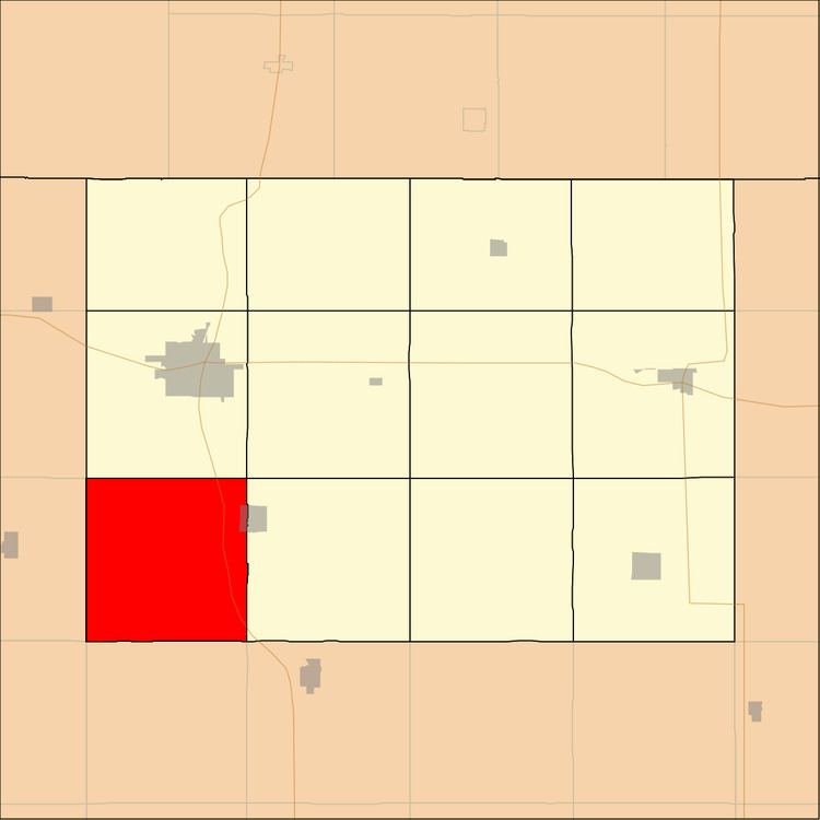
- Map of Twelve Mile Lake IA USA
- History
- Geography
- Cities towns villages
- Unincorporated towns
- Adjacent townships
- Major highways
- Lakes
- School districts
- Political districts
- References
Map of Twelve Mile Lake, IA, USA
History
This township is named from the Twelve Mile Lake, which was said to be twelve miles from Estherville.
Geography
According to the United States Census Bureau, Twelve Mile Lake Township covers an area of 35.2 square miles (91.17 square kilometers); of this, 34.86 square miles (90.29 square kilometers, 99.03 percent) is land and 0.34 square miles (0.88 square kilometers, 0.97 percent) is water.
Cities, towns, villages
Unincorporated towns
(This list is based on USGS data and may include former settlements.)
Adjacent townships
Major highways
Lakes
School districts
Political districts
References
Twelve Mile Lake Township, Emmet County, Iowa Wikipedia(Text) CC BY-SA