
Founded 4 June 1776 Elevation 2,600 m Population 9,673 (2015) | Website Official website Area 165 km² Local time Sunday 9:32 PM | |
 | ||
Founded by Miguel Sánchez and Juan Rodríguez Parra Time zone Colombia Standard Time (UTC-5) Weather 13°C, Wind NW at 6 km/h, 89% Humidity | ||
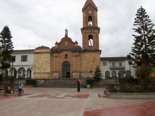
Tuta is a town and municipality in the Colombian Department of Boyacá, part of the subregion of the Central Boyacá Province. Tuta is situated on the Altiplano Cundiboyacense at a distance of 26 kilometres (16 mi) from the department capital Tunja. It borders Paipa, Pesca and Firavitoba in the east, Cómbita in the west, Sotaquirá and Paipa in the north and Chivatá, Toca and Oicatá in the south.
Contents
Map of Tuta, Boyac%C3%A1, Colombia
History
The area of Tuta before the Spanish conquest was inhabited by the Tuta tribe who belonged to the Muisca who were organized in their loose Muisca Confederation. Ruler of the northern territories was the zaque of Hunza, modern day Tunja, who also reigned over Tuta. The Muisca spoke Chibcha and in that now extinct language Tuta means "Borrowed farmlands" or "Property of the Sun".
Modern Tuta was properly founded on June 4, 1776, by Miguel Sánchez and Juan Rodríguez Parra.
Economy
The economy of Tuta is centered on agriculture, livestock farming and mining. Agricultural products are potatoes, barley, beans, maize, peas, onions and fruits. Mining consists of gypsum, coal, oil, kaolin, iron ore and sulphur. On the Alto de Ginua hill emeralds were discovered.