
Founded 7 January 1555 Website Official website Area 165 km² Local time Saturday 9:32 PM | Founded by Pedro Ruíz García Elevation 2,810 m Population 10,157 (2015) | |
 | ||
Time zone Colombia Standard Time (UTC-5) Weather 12°C, Wind S at 6 km/h, 90% Humidity | ||
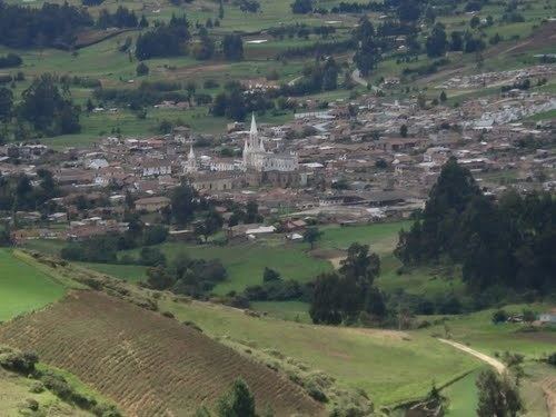
Toca is a town and municipality in the Colombian Department of Boyacá, part of the subregion of the Central Boyacá Province. Toca is situated on the Altiplano Cundiboyacense 27 kilometres (17 mi) northeast from the department capital Tunja. It borders Tuta in the north, Siachoque in the south, Pesca in the east and Tuta and Chivatá in the west.
Contents
Map of Toca, Boyac%C3%A1, Colombia
History
Before the Spanish conquest of the central highlands of the Colombian Andes, the area was inhabited by the Muisca people, organized in a loose confederation of different rulers. Toca was reigned by the iraca of Sugamuxi, present-day Sogamoso. The troops of conquistador Gonzalo Jiménez de Quesada entered the Altiplano Cundiboyacense in 1537. The year of foundation of modern Toca is not entirely clear, but set at 1555 by Pedro Ruíz García.
Etymology
In the Chibcha language of the Muisca, Toca means "Domain of the river".
Economy
The economy of Toca is based on agriculture and livestock farming, with a small mining (salt) part. Main agricultural products are wheat, potatoes, maize, barley, peas, beans, apples, pears, peaches, curubas and cherries.