
Founded 1586 Elevation 2,825 m Local time Tuesday 6:13 PM | Website Official website Area 149 km² Population 14,632 (2015) | |
 | ||
Time zone Colombia Standard Time (UTC-5) Weather 15°C, Wind W at 8 km/h, 80% Humidity | ||
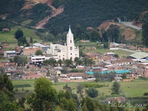
Cómbita is a town and municipality in the Colombian Department of Boyacá, part of the subregion of the Central Boyacá Province. Cómbita is situated on the Altiplano Cundiboyacense and borders Arcabuco and the department of Santander in the north, Sotaquirá in the northeast, Tuta and Oicatá in the east, department capital Tunja at 8.5 kilometres (5.3 mi) away and Motavita in the south and Arcabuco and Motavita in the west.
Contents
Map of C%C3%B3mbita, Boyac%C3%A1, Colombia
History
Cómbita was in the time before the arrival of the Spanish conquistadores inhabited by the Muisca, organized in their loose Muisca Confederation. The ruler of the northern Muisca was the zaque of Hunza, modern day Tunja. The cacique of Cómbita was loyal to the zaque.
In the Chibcha language of the Muisca, Cómbita means either "Hand of the jaguar and wheel of life" or "Force of the summit".
Modern Cómbita was founded in 1586.
Economy
The economical activities of Cómbita are agriculture; potatoes, barley, wheat, maize and peas, and livestock farming.