
 | ||
Oklahoma has an extensive turnpike system, maintained by the state government through the Oklahoma Turnpike Authority. All of Oklahoma's turnpikes are controlled-access highways. The majority have at least four lanes, though the Chickasaw Turnpike is two lanes.
Contents
Tolls on Oklahoma's turnpikes are collected through several methods, particular to each turnpike, involving mainline and sidegate toll plazas. Tolling is not ticket-based, as on other turnpikes, like the Kansas Turnpike to the north. Tolls can be paid through cash (at either unmanned exact-change bays or manned booths, depending on the plaza) or through the Pikepass transponder system.
Turnpikes
Surveyed but not built
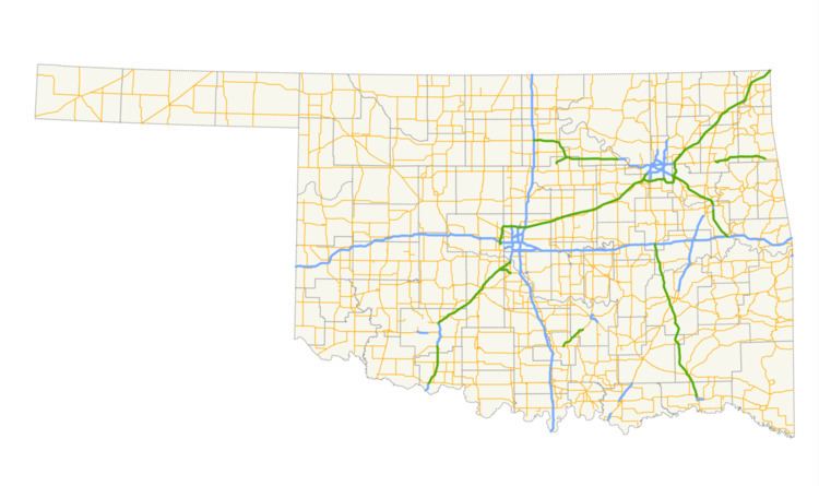
Shortly after the Turner Turnpike was built in 1953, the Oklahoma Turnpike Authority proposed other toll roads including one to be built from Oklahoma City north to the Kansas border near Braman to tie in with the southern terminus of the Kansas Turnpike at the state line. That routing was included as part of the Federal Highway Act of 1956 which created the Interstate Highway System. As a result, the OTA could not obtain financing to build that proposed turnpike and turned the initial plans including surveys and blueprints over to the Oklahoma Department of Transportation in 1956 for the construction of I-35 as a freeway on that same alignment, which was completed in several stages between 1958 and 1962.
Also proposed but never built was a toll road roughly following what would later become I-35 between Oklahoma City and the Red River north of Gainesville, Texas that included a spur route veering from the main route north of Ardmore veering northeastward past Ada to tie in with the Turner Turnpike near Stroud.
Also proposed in the 1990s but never built was an extension of the Muskogee Turnpike from its current southeastern terminus at I-40 southeastward toward Poteau.
Pikepass
Pikepass is the electronic toll collection system used by the Oklahoma Turnpike Authority. Created in 1990 and launched on January 1, 1991, Pikepass provides a faster and cheaper alternative in paying cash tolls. The authority also saves millions with the system. Most customers pay an initial $40 in prepaid tolls, which they can refill at their own convenience or have funds automatically withdrawn to replenish the account if it falls below $10–15. Pikepass usage results in a 5% savings up front and customers with 20 or more uses of the Pikepass receive a credit of 5% of their toll charges for that month. The Pikepass device has been tested by the manufacturer to accurately record toll usage at speeds up to 123 miles per hour (198 km/h).
Interoperability
- August 10, 2014: North Texas Tollway Authority (TollTag).
- November 1, 2014: Kansas Turnpike Authority (K-Tag).
- Around the 3rd quarter of 2017: Texas Department of Transportation (TxTag) and Harris County Toll Road Authority (EZ TAG).
Future
On October 29, 2015, Governor Mary Fallin announced Driving Forward, a $892 million turnpike package. New turnpike corridors included in the package are a 2 1⁄2-mile (4.0 km) tolled extension of the Gilcrease Expressway in Tulsa; a 21-mile (34 km) connection between I-40 and the Turner Turnpike in eastern Oklahoma County; and a 7 miles (11 km) extension of the Kilpatrick Turnpike southeast to SH-152 near Will Rogers World Airport in Oklahoma City. The package also provides funding for safety improvement projects on the H.E. Bailey, Muskogee, and Turner turnpikes. The projects are to be funded by bonds issued by OTA; no tax monies will be spent on the projects. The projects are scheduled to begin in the third quarter of 2016.