
Existed: 1966 – present Length 169.3 km | Constructed 1966 | |
 | ||
Indian nation turnpike near hugo oklahoma
The Indian Nation Turnpike is a toll road in southeastern Oklahoma, United States, running between Hugo and Henryetta, Oklahoma, a distance of 105.2 miles (169.3 km). It is the longest tollway in the state.
Contents
- Indian nation turnpike near hugo oklahoma
- Map of Indian Nation Turnpike Oklahoma USA
- Route description
- History
- References
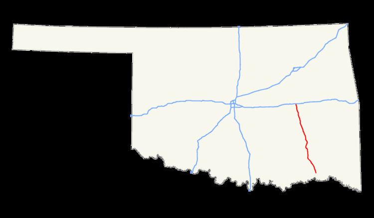
Map of Indian Nation Turnpike, Oklahoma, USA
Route description
The Indian Nation turnpike is built to parkway-like design standards, omitting a center barrier and left-hand shoulders for a slightly mounded grassy median that is flush with the edge of the left lane in each direction. The turnpike's speed limit is 75 mph (121 km/h).
A two-axle vehicle pays $4.75 ($4.50 with Pikepass) to drive the full length of the Turnpike. *Toll has now increased to $5.50 (cash) for a full length trip as of 2013.
Law enforcement along the Indian Nation Turnpike is provided by Oklahoma Highway Patrol Troop XC, a special troop assigned to the turnpike.
The only dining option along the entire turnpike is McDonald's.
History
The route is one continuous four-lane limited access highway, but consists of two separately constructed sections. The 41.1-mile (66.1 km) northern section, which opened in 1966, is the portion between I-40/US 62/US 75 near Henryetta and US 69 south of McAlester. The southern extension opened in 1970, and is the 64.1-mile (103.2 km) segment from the US 69 junction to US 70/271 in Hugo.