
Surface elevation 172 m | Primary inflows Basin countries United States Outflow location Yadkin River | |
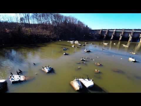 | ||
Bald mountain on tuckertown reservoir davidson county nc
The Tuckertown Reservoir is the reservoir formed by the Tuckertown Dam 35°29′05″N 80°10′36″W at the North end of Badin Lake and the High Rock Dam 35°36′03″N 80°14′06″W at the bottom of High Rock Lake in the Uwharrie Lakes Region in the U.S. state of North Carolina.
Contents
- Bald mountain on tuckertown reservoir davidson county nc
- Map of Tuckertown Reservoir North Carolina USA
- References
Map of Tuckertown Reservoir, North Carolina, USA
The reservoir is located in Davidson County, Stanly County, Montgomery County, and Rowan County and contains the wide and navigable waterway of the Yadkin River. The dam itself, at the south end of the reservoir, spans the river between Harris Township in Stanly County and Eldorado Township in Montgomery County. Used for hydroelectric power generation, Tuckertown Lake was historically managed and operated by the Alcoa company, but in February 2017 Alcoa sold the power generation to Cube Hydro Carolinas LLC, an affiliate of Cube Hydro Partners, LLC.
The lake has two crossings. One is the Bringle Ferry Bridge that bridges the river between High Rock (in Davidson County) and Pooletown (in Rowan County). The bridge offers a spectacular view of the High Rock Dam. The second crossing is the NC Hwy 49 Bridge at Tuckertown. The next bridge north of the Bringle Ferry Bridge is located at the Interstate 85 crossing near Salisbury.
The next bridge south of the NC Hwy 49 Bridge is at the James B. Garrison Bridge over Lake Tillery between Albemarle and Troy. The Tuckertown Reservoir occupies a narrow valley in the western edge of the ancient Uwharrie Mountains.