
Counties Aust-Agder, Vest-Agder Basin size 1,800 km (690 sq mi) Source elevation 1,101 m Country Norway | River system Tovdalsvassdraget Length 143 km | |
 | ||
Main source Straumsfjorden1,101 metres (3,612 ft) River mouth Tofdalsfjorden0 metres (0 ft) | ||
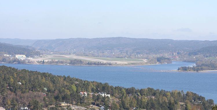
Tovdalselva (also known as the Tofdalselva, Tovdalsåna, Tovdalsåni, or Topdalselva; literally: the Tov valley river) is 143 kilometres (89 mi) long and is one of the longest rivers in Southern Norway. The river flows through Aust-Agder and Vest-Agder counties from the mountains on the northeast side of the Setesdal valley in Valle municipality southwards until it reaches the sea at the Tofdalsfjorden between Hamresanden and Kjevik in Kristiansand. The upper reaches of the river include many lakes such as the Herefossfjorden and the Straumsfjorden (the largest lake on the river). It drains about 1,800 square kilometres (690 sq mi) in territory and the highest point in the watershed is 1,101 metres (3,612 ft) above sea level. The drainage basin includes parts or all of the following municipalities: Fyresdal, Valle, Bygland, Evje og Hornnes, Åmli, Froland, Grimstad, Birkenes, Iveland, Lillesand, and Kristiansand.
Contents
Map of Topdalselva, Norway
FishingEdit
Tovdalselva was long considered one of the greatest salmon fishing rivers in the land. From 1880 to 1883, it was Norway's third most productive salmon river calculated both by weight and by value of the salmon caught. This had decreased seriously by the 1900s. By 1970, the salmon fishing in the Tovdalselva was almost completely lost.