
Area rank 293 in Norway Population 1,254 (2010) Local time Friday 6:55 AM | County Aust-Agder Demonym(s) Ivdøl | |
 | ||
Weather 1°C, Wind SW at 21 km/h, 90% Humidity Area 261.6 km² (246.9 km² Land / 14.75 km² Water) | ||
Iveland is a village and municipality in Aust-Agder county, Norway. It is part of the traditional region of Sørlandet. The administrative center is the village of Birketveit.
Contents
Map of Iveland, Norway
General information
The municipality was established on 1 January 1886 when the old municipality of Hornnes og Iveland was split into two municipalities: Iveland (population: 1,103) and Hornnes (population: 1,113). The municipal boundaries have not changed since that time.
Name
The municipality (originally the parish) is named after the old Iveland farm (Old Norse: Ífuland), since the first church was built there. The first element is the genitive case of the river name Ífa (now Frøysåna) and the last element is land which means "land" or "farm". The old river name is probably derived from the Norse word ýr which means "yew" (Taxus baccata).
Coat-of-arms
The coat-of-arms is from modern times. They were granted on 9 October 1987. The arms show a stonemason's hammer which symbolizes the importance of mining in the area and the green background represents forestry and agriculture.
History
Although nothing is found in written sources about Iveland before the 15th century, there is evidence of occupation for thousands of years prior to that. Stone Age implements have been found which are four-five thousand years old. A King’s road (Norwegian: Kongevegen) which allowed for horse travel went in an east-west direction through the area and was in use as early as the 9th century, and perhaps before. But the first written record of farms created by clearing the land goes back 600 years.
The Setesdal Line was a narrow gauge steam railway which went across Iveland on its route between Vennesla and Byglandsfjord in Bygland. It was built in 1896. The Setesdal Line's operation was terminated in 1962 and the track was removed between Byglandsfjord and Beihølen. When it was constructed, it revived the lumber industry. Large quantities of planks, poles, and timbers were brought by horse to the Iveland station and forwarded by railroad to Kristiansand. This resulted in better prices since it provided competition with the floated timber.
Geography
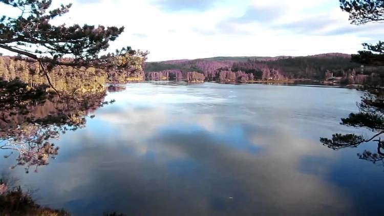
Iveland is the smallest municipality in Setesdal. The Otra river which flows through Iveland is the largest river in the Sørlandet district. Towards the east it borders on lake Oggevatn.
The municipality is bordered in the northwest by Evje og Hornnes, in the northeast and east by Birkenes, and in the south and west by Vennesla. The municipality has three population centers: Birketveit, Vatnestrøm, and Skaiå.
The Iveland area includes several hundred old mines. These pegmatite mines and quarries yield more than 100 different minerals, including minerals containing Rare earth elements, beryllium, scandium, uranium, and thorium.