
Postcode(s) 2642 Elevation 331 m Local time Monday 11:42 AM | Postal code 2642 | |
 | ||
Weather 20°C, Wind E at 14 km/h, 49% Humidity | ||
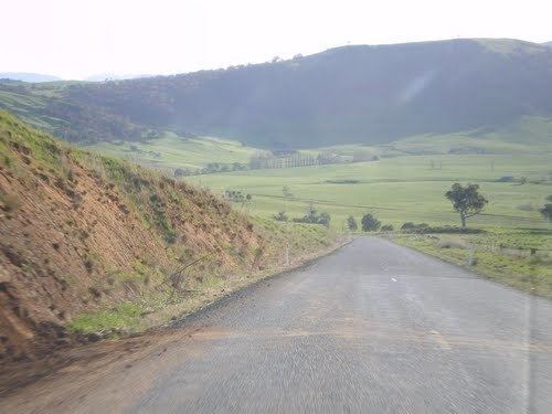
Tooma is a village community in the eastern part of the Riverina and situated about 11 kilometres (6.8 mi) east from Welaregang and 34 kilometres (21 mi) south from Tumbarumba.
Map of Tooma NSW 2642, Australia
Tooma is in the valley of the Tooma River, not far from its confluence with the Murray River.
Tooma Post Office opened on 1 January 1873.
References
Tooma, New South Wales Wikipedia(Text) CC BY-SA