
Population 162 (2006 census) Elevation 310 m Postal code 2642 | Postcode(s) 2642 Local time Monday 8:54 AM | |
 | ||
Weather 8°C, Wind N at 5 km/h, 97% Humidity | ||
Welaregang is a rural community in the far south east part of the Riverina and situated about 11 kilometres south west from Tooma and 15 kilometres south east from Ournie. At the 2006 census, Welaregang had a population of 162.
Map of Welaregang NSW 2642, Australia
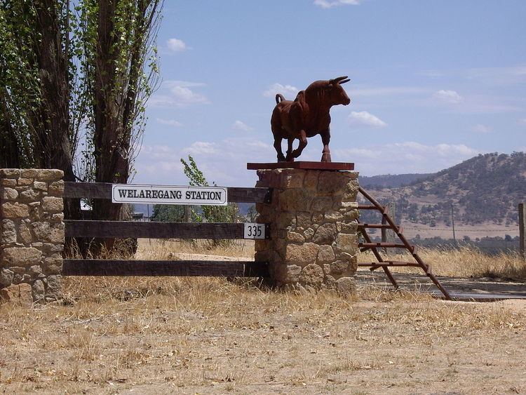
The community area is named after the parish of Welaregang, and the nearby Welaregang Station also takes the name. There are numerous other grazing properties nearby. Welaregang is situated on the Ournie to Tooma road, a dirt track, and only 3 kilometres (1.9 mi) from the Murray River, the border with Victoria.
Welaregang Post Office opened on 1 January 1861 and closed in 1873.
The community boasts a Golf Club which is cut directly into the surrounding landscape.
References
Welaregang, New South Wales Wikipedia(Text) CC BY-SA