
Local time Saturday 11:14 AM | ||
 | ||
Municipal district Olyutorsky Municipal District Rural settlement Tilichiki Rural Settlement Weather -5°C, Wind S at 2 km/h, 88% Humidity | ||
Eq3d alert 3 8 16 5 2 magnitude earthquake in tilichiki russia
Tilichiki (Russian: Тили́чики) is a rural locality (a selo) and the administrative center of Olyutorsky District of Koryak Okrug of Kamchatka Krai, Russia. It is located on the Korfa Bay of the Kamchatka Peninsula.
Contents
- Eq3d alert 3 8 16 5 2 magnitude earthquake in tilichiki russia
- Map of Tilichiki Kamchatka Krai Russia 688800
- History
- Geography and climate
- Economy and infrastructure
- Transportation
- References
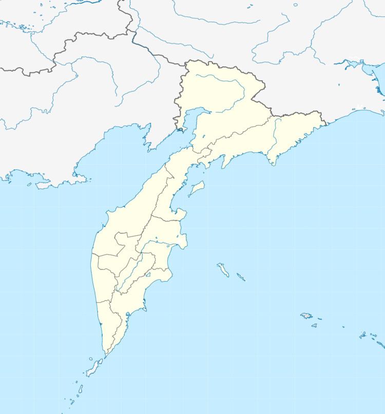
Map of Tilichiki, Kamchatka Krai, Russia, 688800
History
Tilichiki was established in 1898, and in 1930 it became the administrative center of the district. In April 2006, it was struck by a series of earthquakes which caused substantial damage. The first quake occurred on April 21 and had a moment magnitude of 7.6. The epicenter was nearly 90 kilometers (56 mi) to the northeast at a depth of 22 kilometers (14 mi) under mostly unpopulated areas. This was followed by several aftershocks, and on April 29 a further earth tremor with a magnitude of 6.6 was recorded. This was the strongest earthquake in the region for over a hundred years, and although there were no fatalities, three of the smaller localities were completely destroyed.
Tilichiki was re-built after the quake, as it is the most important populated place for more than 1,000 kilometers (620 mi) of coast between Anadyr in the north and Ust-Kamchatsk in the south.
Geography and climate
Tilichiki lies in the northeast of the Kamchatka Peninsula, on the shores of the Skrytaya Harbor, separated by a narrow spit from the northern part of the Korfa Bay in the Bering Sea.
In 1995, a large natural reserve of some 300,000 hectares (740,000 acres) was created.
Korf and Tilichiki have a subarctic climate (Köppen Dfc) though owing to their maritime location the winters are not so severe as at the same latitude in interior Siberia—for instance the mean temperature of the coldest month is less severe than in Olyokminsk at the same latitude near the Pole of Cold. Precipitation also shows the pronounced maritime influence, with annual averages being typical of Kamchatka and around three or four times those of interior Siberia at the same latitude. The heavier snow cover and milder winter temperatures mean that in spite of the mean temperature of the warmest month not reaching beyond +12.5 °C (54.5 °F), permafrost is only discontinuous. Strong winds, however, limit tree growth severely.
Economy and infrastructure
Industries include fishing and potato and vegetable farming, sometimes in greenhouses.
Transportation
The Tilichiki Airport is located to the south of Tilichiki, and it is also connected by ferry service to the port of Korf.