
Time zone PETT (UTC+12:00) Founded 1925 | Population (2012 est.) 18 inhabitants Rural locality status since 1994 Local time Saturday 12:14 AM | |
 | ||
Weather -3°C, Wind N at 6 km/h, 81% Humidity | ||
Korf (Russian: Корф) is a rural locality (a selo) and a port in Olyutorsky District of Koryak Okrug in Kamchatka Krai, Russia, located on a narrow sand spit opposite Tilichiki. Population: 18 (2012 est.); 3,147 (1989 Census).
Contents
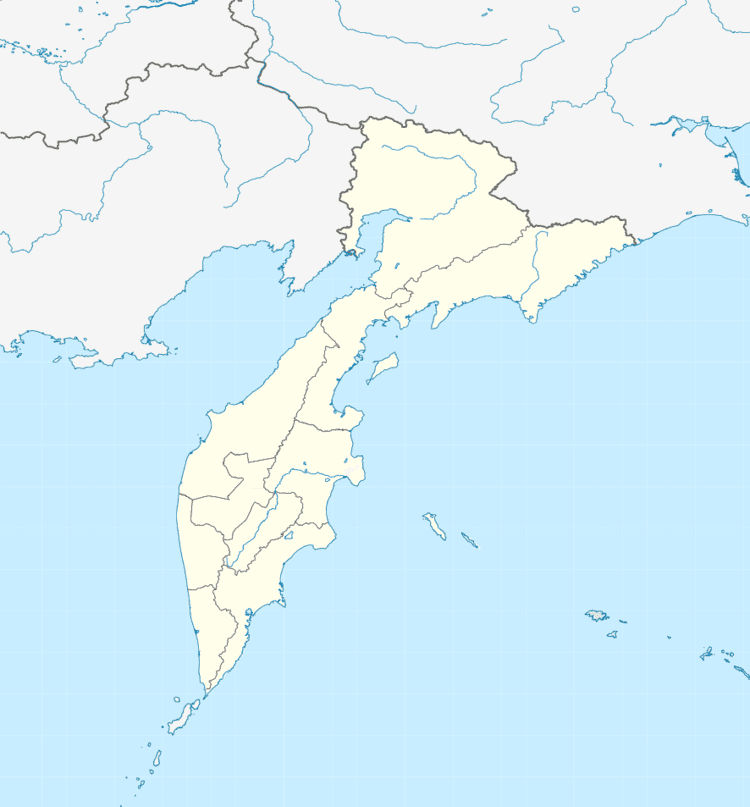
Map of Korf, Kamchatka Krai, Russia, 688810
History
It was established in 1925 on the coast of the Skrytaya Harbor of the Korfa Bay as a settlement of salmon fishers. In 1994, it was demoted in status from that of an urban-type settlement to rural locality. On April 21, 2006, Korf was destroyed by the 2006 Kamchatka earthquakes. Over eight hundred families were evacuated and the selo was slated to be abandoned. As of 2013, however, Korf has not been officially abolished.
Economy
Korf is connected to Tilichiki by ferry and to other neighboring locations by helicopter service. Platinum and lignite are mined in the district.
Climate
Korf has a subarctic climate (Köppen Dfc), though owing to its maritime location the winters are not so severe as at the same latitude in the interior. For instance, the mean temperature of the coldest month is as much as 15 °C (27 °F) less severe than in Olyokminsk at the same latitude near the Pole of Cold. Precipitation also shows the pronounced maritime influence, with annual averages being typical of Kamchatka and around three or four times those of the interior at the same latitude. The heavier snow cover and milder winter temperatures mean that in spite of the mean temperature of the warmest month not reaching beyond +12.5 °C (54.5 °F), permafrost is only discontinuous. Strong winds, however, limit tree growth severely.