
Area 3.64 sq mi (9.4 km) OS grid reference SU641713 Local time Wednesday 11:08 PM | Population 2,835 (2011 census) Civil parish Theale Dialling code 0118 | |
 | ||
Weather 12°C, Wind S at 14 km/h, 85% Humidity | ||
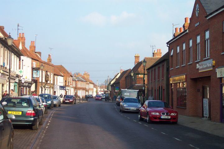
Kennet and avon canal theale to reading 20 may 2016
Theale (/ˈθiːəl, ˈθiːl/) is a large village in West Berkshire, England which forms a civil parish. It has a high street of small businesses, large business parks beside its railway station and its own schools.
Contents
- Kennet and avon canal theale to reading 20 may 2016
- Map of Theale Reading UK
- History
- Toponymy
- Governance
- Geography
- Geology
- Demography
- Economy
- Transport
- Education
- Places of worship
- Holy Trinity
- Organ
- References
Map of Theale, Reading, UK
The village is bounded to the south and south-east by the leisure-use Kennet & Avon Canal; immediately north of this is the River Kennet. Within Theale there are large lakes formed by extraction of gravel: 11% of Theale's area is fresh water. Theale is centred 5 miles (8 km) southwest of Reading, the nearest major town, and 10 miles (16 km) east of Thatcham. The north of Theale civil parish is a golf course, and the eastern boundary is the M4 motorway where there is a dual carriageway and junction with the local roads. Theale lies in the far east of the West Berkshire local authority area.
History
Until the 19th century, Theale was part of Tilehurst and Burghfield ecclesiastical (and later also civil) parishes. In September 1643, soon after the First Battle of Newbury, Theale was the site of a skirmish between Prince Rupert's Royalist forces and the Earl of Essex's Parliamentarians. Rupert attacked the Earl's forces from the rear as they were returning to London; the Earl's forces – led by Colonel Middleton – held strong; up to 800 Royalist musketeers and 60 horses were killed, and at least 8 Parliamentarian units were killed and were buried in Dead Man's Lane. The Royalist forces retreated, and the Earl left Theale on the morning of 23 September, heading to Reading where his units recovered from fatigue. Thomas Fairfax, 3rd Lord Fairfax of Cameron marched through Theale on 1 May 1645, en route from Windsor to Salisbury.
In 1802, topographer James Baker chronicled the village en route from Reading to Newbury, and described it as "inconsiderable".
As the Bath Road became an established trade route and turnpike between SW and SE England, Theale became known for its numerous coaching inns. Many times during the 18th century, Dick Turpin is said to have hidden in a secret room in The Old Lamb on Theale's high street.
Toponymy
One suggested origin of the name "Theale" refers to the village's inns and its position as the first staging post on the Bath Road from London – literally calling the village "the ale". An alternative explanation is that the name comes from the Old English "þelu" meaning "planks". As with the village of Theale in Somerset, this probably refers to planks used on marshes or flood plains.
Governance
From before 1241 until the 1800s, Theale was a manor without its own church that unusually gave its name to the hundred containing the parishes of Aldermaston, Bradfield, Burghfield, Englefield, Padworth, Purley, Stratfield Mortimer, Sulham, Sulhamstead Bannister, Tidmarsh, Ufton Nervet and Woolhampton. Until the 19th century, Theale was a chapelry in Tilehurst; a portion of the land was taken from Burghfield when forming the parish.
Geography
There are many wooded areas within the parish. The River Kennet runs south of the village, cutting through meadows and giving wide flood plains. Theale is relatively flat, with expanses of level ground flanking the main road. Theale has one lake within the built up area to the far west of the village, with privately owned houses flanking it the owners and two public south-western lakes. The south-east and south boundary is the Kennet & Avon Canal. Two weirs on the River Kennet are within its extent.
Theale has a Local nature reserve on the edge of the village called Hosehill Lake.
Geology
As with other parts of the Kennet Valley, soil in Theale is a variety of chalk, flint, gravel and loam. It has narrow peat marshes against the river. Samples of ochra purpurco-rubra, a purple-red type of ochre used by painters, have been found in clay pits in the village.
Demography
According to the 2011 census, the parish had a population of 2,835. Of these, 49% (1,390) were male and 51% (1,445) were female. The populace lived in a total of 1,252 dwellings. The majority of working residents in Theale are employed in professional or administrative roles. Between 89% and 90% of residents considered their ethnicity to be White British.
Economy
Theale has long been associated with pubs and the brewing trade. Many coaching inns were established on the road from London to Bath, though by the 1840s the success of the Great Western Railway had considerably reduced the custom the inns received. In 1843, writing about the effect of the railway on local business and environment, J G Robertson hypothesised that "it is probable that, in a few months, the completion of [the Great Western Railway] will totally annihilate the agreeable variety, and the hanging woods of Englefield and Beenham will no longer echo back the nocturnal challenge of the mail-guard's horn".
Theale was once involved in Tilehurst's tile industry; until at least the late 19th century there was a kiln to the north-east of the village. Three business parks, Theale Business Park, Theale Technology Centre and Arlington Business Park, adjoin the railway station.
Koch Media has its UK offices in Theale.
Transport
Theale has a railway station on the London to Exeter (via Taunton) line; the station has been in operation since 1847. It has two platforms (the eastbound to Reading via Southcote Junction and Reading West; the westbound to Newbury via Aldermaston, Midgham, Thatcham, and Newbury Racecourse). The station has a siding for freight services.
Theale is served by the "Jetblack" bus service, operated by Reading Transport between Newbury and Reading along the A4 road; the journey time is about 50 minutes to Newbury and 30 to Reading. Weavaway Travel, trading as Newbury & District, also operate the 101, 104 and 105 services to the village, which connect Theale to the same towns as well as other local villages.
Theale is south-west of junction 12 of the M4 motorway; where a descriptor is used it referred to as Theale or Reading West.
Education
Theale Green Community School is a comprehensive secondary school located to the west of the village. The school's catchment area covers Woolhampton, Bradfield, Beenham, Englefield and Basildon. The school is an arts college and has a specialist department catering for students on the autism spectrum.
The village has a Church of England primary school, as well as a number of private pre-school organisations.
Places of worship
There is evidence of a chapel dedicated to St John the Baptist in Theale in 1291. The church is recorded to have belonged to the Priory of Goring. In the 19th century, the Berkshire Local History Club wrote that the church was on the same site as the current church, and that the chapel was part of the Englefield estate. In 1542, after Henry VIII's Dissolution of the Monasteries, the chapel was granted to Sir Leonard Chamberlain (the High Sheriff of Berkshire) and to Richard Andrews. The following year, the chapel was granted to the Burgoyne family by Chamberlain and Richard Hayles. In 1545 the Burgoyne family sold the chapel to Richard Bartlett, who in turn sold it to Humphrey Forster of Aldermaston in 1587. In 1609, Forster's son sold the property to Anthony Blagrave of Sonning, from whom the Wilder family purchased it in 1632. The last mention of the chapel is in 1675 in the family's deeds. The chapel was reportedly demolished in 1808, with evidence of its foundations being discovered in the building of the present church.
In 1799, a Dr Sheppard built a chapel of ease when Theale was part of Tilehurst parish. The chapel was built of brick and had a bellcote, and was situated to the south-west of the present church.
Holy Trinity
The parish church is Anglican, and is dedicated to the Holy Trinity. Designed by Edward Garbet, the church was consecrated on 21 August 1832 by the Bishop of Salisbury; it had taken about 15 years to build. The benefactor was Dr Sheppard's wife Sophia, who donated £39,000 for the building of a church, rectory and school, though other sources state that the donation was closer to £50,000. Dr Sheppard had died in 1814 and wished a new church to be built to replace the earlier building. Sophia was supported in the founding of the church by her brother, Martin Routh.
The church, especially the western façade and the buttresses, bears resemblance to Salisbury Cathedral. Nikolaus Pevsner wrote that the church is modelled on the cathedral. In 1833, John Claudius Loudon described the body of the church as "satisfactory" and said that "the tower, and all the turrets, and terminations to the buttresses, are too short". The steeple is positioned to the south-east of the nave, with suggestions that its building was an afterthought. John Buckler built the tower between 1827 and 1828, with suggestions that he modelled the building on Salisbury's bell tower – demolished about 30 years previously – though little artistic and architectural evidence supports this.
Previous rectors and curates at the church include Martin Routh and Edward Ellerton.
The church has been compared to the now-demolished church of St George in Newtown, Birmingham, due to the designers' use of existing architecture, rather than "forcing [...] their own inventions".
Organ
The church's original organ had a single manual and was built by R. W. Rouse of Somerton, Oxfordshire. It was restored in 1933 by G. H. Foskett of London, with funds donated by the Blatch family. The restoration saw the organ moved from its original position in the church's west end to the nave, with preservation of the pipes. A second restoration was undertaken by Richard Bower of Weston Longville.