
OS grid reference SU6664 Local time Wednesday 3:37 AM | Area 9.67 km² Dialling code 0118 | |
 | ||
Weather 12°C, Wind SW at 26 km/h, 88% Humidity | ||
Stratfield Mortimer is a village and civil parish, just south of Reading, in the English ceremonial county of Berkshire and District (unitary authority area) of West Berkshire.
Contents
- Map of Stratfield Mortimer Reading UK
- Geography
- Amenities
- Mortimer Common
- Mortimer West End
- Transport
- Sports
- References
Map of Stratfield Mortimer, Reading, UK
Geography
The south and south-east half of the parish consists of farms with a small percentage of woodland and is bisected towards the middle of the whole area by the Foudry Brook and adjacent Reading to Basingstoke Line (two tracks) which is more than 40% on raised embankments but in the far south is in a cutting. The north-east of the parish is the most populated: and is not so semi-rural or rural in density; it is the part more often colloquially called Mortimer. This more outlet- and amenity-served part, traditionally known as Mortimer Common, is at the top of the hill in Stratfield Mortimer civil parish. The northwestern 5% of the land is Mortimer Woods or common land which blends into Wokefield Common - Mortimer Woods has a set of Scheduled Ancient Monuments – one large, steep Bronze Age round barrow and three further smaller bowl barrows.
The linear village of Stratfield Mortimer climbs Mortimer Hill which rises westward from the Foudry Brook. It has no fixed formal or historic boundaries with Mortimer Common.
The south boundary (all but south-west, see the county boundary on the map shown above) is the straight footpath, the Devil's Highway, the eastern part of the Roman road from London to Bath, which is marked out today from Bagshot, Surrey to the best-preserved Roman Wall, ruins of town (such as amphitheatre) of Calleva Atrebatum in Silchester, 2 miles (3.2 km) south-west of the village.
Amenities
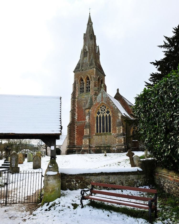
The village includes the Cinnamon Tree Indian restaurant (formerly the Fox and Horn and prior to that, the Railway Inn public house), St Mary's Church of England parish church, Mortimer St Mary's Junior School and the headquarters of the Berkshire Federation of Women's Institutes. The Foudry Brook is crossed by a scenic Victorian bridge with footways known as Tun Bridge. The Lockram Brook flows through the middle of the parish and there is more than 10% woodland making up the parish open to the public under the Countryside and Rights of Way Act 2000 including Starvale Woods, Wokefield Common and Holden Firs.
Mortimer Common
The main settlement in this civil parish is Mortimer Common which has a surgery, dentist, a bank, pharmacy, a post office, Dads Shop (hardware), Budgens supermarket, McColls convenience store, travel agent, Chinese/fish and chips take away, the Church of England parish church of St John the Evangelist. Next to the church is St John's Infant School.
There are three pubs in Mortimer Common, each on one of the three main roads through the village: The Horse and Groom in The Street opposite Mortimer Fairground, The Victoria Arms in Victoria Road and The Turner's Arms in West End Road.
A new Mortimer Community Hall with a cricket pavilion has been constructed on the common, it is available for hire. There is also the St. John's Hall, that houses the Mortimer Pre-School, holds amateur dramatic shows and is available for hire.
Mortimer West End
Before the mid-nineteenth century when parishes were only ecclesiastical, Stratfield Mortimer was a cross-county parish: the Hampshire part was known as Mortimer West End. It became in the Church of England an ecclesiastical parish in 1870, and acquired its own civil parish in 1894.
A faint vestige of this is that Stratfield Mortimer ecclesiastical parish today includes Wokefield and a small uninhabited fraction of Mortimer West End.
Transport
Stratfield Mortimer is served by Mortimer railway station on the Reading to Basingstoke Line.
Bus information. Reading Buses run the Vitality 2 and 2a routes from Mortimer to Peppard Common via Burghfield, Reading Station & Sonning Common.
Sports
Mortimer Tennis club, play from 2 courts on the Fairground.
Mortimer Cricket Club, play out of the Mortimer Community Hall on the Fairground.
Mortimer Football Club, play on the Alfred Palmer Memorial Field to the west of Mortimer, beside The Turners Arms
Local golf club is at Wokefield Park