
 | ||
Blue men of the minch true story of abduction by ocean dwellers scotland storm kelpies
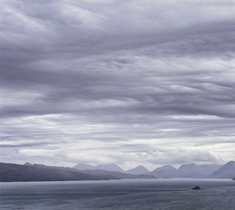
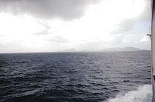
The Minch (Scottish Gaelic: An Cuan Sgitheanach, An Cuan Sgìth, Cuan na Hearadh, An Cuan Leòdhasach), also called North Minch, is a strait in north-west Scotland, separating the north-west Highlands and the northern Inner Hebrides from Lewis and Harris in the Outer Hebrides. It was known as Skotlandsfjörð ("Scotland's fjord/firth") in Old Norse.
Contents
- Blue men of the minch true story of abduction by ocean dwellers scotland storm kelpies
- Crossing the minch from tarbert to uig on the calmac ferry mv hebrides
- Geography
- Navigation
- Lighthouses
- Other navigational aids
- Mythology
- Conservation
- References
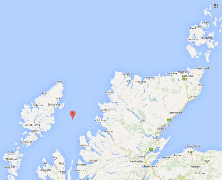
The Lower Minch (an Cuan Canach), also known as the Little Minch, is the Minch's southern extension, separating Skye from the lower Outer Hebrides: North Uist, Benbecula, South Uist, Barra etc. It opens into the Sea of the Hebrides. The Little Minch is the northern limit of the Sea of the Hebrides.
Crossing the minch from tarbert to uig on the calmac ferry mv hebrides
Geography
The Minch and Lower Minch form part of the Inner Seas off the West Coast of Scotland, as defined by the International Hydrographic Organization.
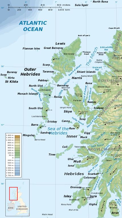
The Minch ranges from 14 to 45 miles (23 to 72 km) wide and is approximately 70 miles (110 km) long. It is believed to be the site of the biggest meteorite ever to hit the British Isles. The Lower Minch is about 15 miles (24 km) wide. In June 2010 Eilidh Macdonald became the first person to swim across it from Waternish Point on Skye to Rodel on Harris, in a time of 9.5 hours.
Navigation
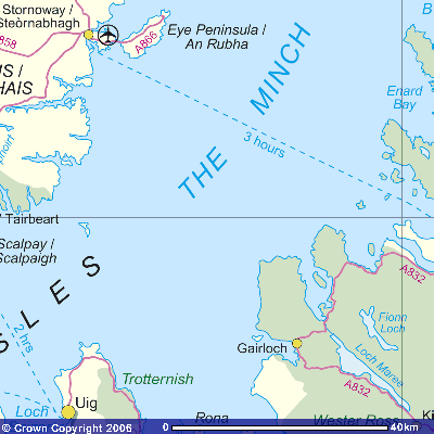
A Traffic Separation Scheme operates in the Little Minch, with northbound traffic proceeding close to Skye, and southbound close to Harris. Commercial ferry services across the Minch are operated by Caledonian MacBrayne.
Lighthouses
In the south, its entrance is marked by lighthouses at Barra Head, Ushenish and Hyskeir. On Skye, there are lights at Neist Point, Vaternish and An t-Iasgair. The Outer Hebrides are marked by Weavers Point, Eilean Glas, Tiumpan Head and Butt of Lewis. To the east are Rubh Re, Stoer Head and Cape Wrath lighthouses.
Other navigational aids
A buoy marks Eugenie Rock (named after the vessel that grounded there in May 1859) and the nearby Sgeir Graidach. Previously, these hazards were marked by a red-painted beacon on Sgeir Graidach, the foundations of which can still be seen at low tide.
Mythology
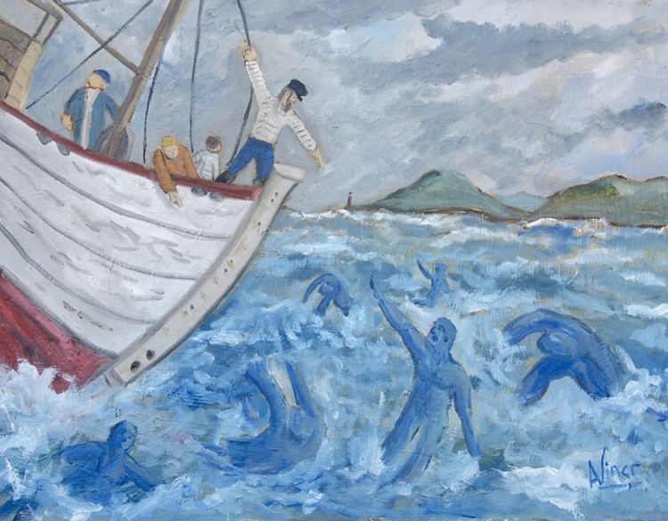
The mythological Blue men of the Minch live in the area.
Conservation
The Minch Project is a collaboration of Comhairle nan Eilean Siar, the Highland Council and Scottish Natural Heritage that aims to reduce pollution, minimise erosion, minimise litter and promote tourism in the Minch, particularly wildlife tourism such as dolphin watching. Pollution is a particular concern as the Minch is a busy shipping lane; 2.5 million tonnes (2.5M long tons; 2.8M long tons) of shipping pass through the channel each month.