
Congressional district 3rd Website thayercountyne.gov Founded 1872 | Time zone Cetnral Area 1,489 km² Population 5,189 (2013) Unemployment rate 1.9% (Apr 2015) | |
 | ||
Cities Hebron, Deshler, Bruning, Belvidere, Gilead, Davenport, Chester, Alexandria, Carleton, Byron, Hubbell Rivers Rose Creek, Dry Sandy Creek, Spring Creek | ||
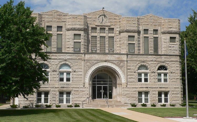
Thayer County is a county in the U.S. state of Nebraska. As of the 2010 census, the population was 5,228. Its county seat is Hebron. The county was created in 1856 and originally named Jefferson County. It was organized in 1870-1871 and renamed for the General and Governor John Milton Thayer.
Contents
Map of Thayer County, NE, USA
In the Nebraska license plate system, Thayer County is represented by the prefix 32 (it had the thirty-second-largest number of vehicles registered in the state when the license plate system was established in 1922).
Geography
According to the U.S. Census Bureau, the county has an area of 575 square miles (1,490 km2), of which 574 square miles (1,490 km2) is land and 1.2 square miles (3.1 km2) (0.2%) is water.
Major highways
Adjacent counties
Demographics
As of the census of 2000, there were 6,055 people, 2,541 households, and 1,689 families residing in the county. The population density was 10 people per square mile (4/km²). There were 2,828 housing units at an average density of 5 per square mile (2/km²). The racial makeup of the county was 98.70% White, 0.02% Black or African American, 0.28% Native American, 0.12% Asian, 0.33% from other races, and 0.56% from two or more races. 1.01% of the population were Hispanic or Latino of any race.
There were 2,541 households out of which 27.70% had children under the age of 18 living with them, 58.80% were married couples living together, 5.00% had a female householder with no husband present, and 33.50% were non-families. 31.50% of all households were made up of individuals and 18.20% had someone living alone who was 65 years of age or older. The average household size was 2.31 and the average family size was 2.90.
In the county, the population was spread out with 24.10% under the age of 18, 4.90% from 18 to 24, 22.30% from 25 to 44, 24.20% from 45 to 64, and 24.50% who were 65 years of age or older. The median age was 44 years. For every 100 females there were 95.80 males. For every 100 females age 18 and over, there were 92.80 males.
The median income for a household in the county was $30,740, and the median income for a family was $38,346. Males had a median income of $26,964 versus $18,275 for females. The per capita income for the county was $17,043. About 7.60% of families and 10.70% of the population were below the poverty line, including 14.80% of those under age 18 and 11.00% of those age 65 or over.