
Area 1,492 km² Population 4,413 (2013) Unemployment rate 2.0% (Apr 2015) | Founded 1860 | |
 | ||
Website www.nuckollscounty.ne.gov Rivers Republican River, Buffalo Creek, Spring Creek | ||
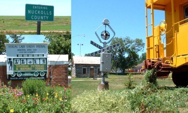
Nuckolls County is a county located in the U.S. state of Nebraska. As of the 2010 census, the population was 4,500. Its county seat is Nelson.
Contents
- Map of Nuckolls County NE USA
- 19th century
- Geography
- Major Highways
- Adjacent counties
- Demographics
- References
Map of Nuckolls County, NE, USA
In the Nebraska license plate system, Nuckolls County is represented by the prefix 42 (it had the forty-second-largest number of vehicles registered in the county when the license plate system was established in 1922).
19th century
Nuckolls County was formed in 1860 and later organized in 1871. It was named after Stephen F. Nuckolls, an early pioneer in this area.
In 1887, Atchison, Topeka and Santa Fe Railway built a branch line from Neva (3 miles west of Strong City) to Superior, Nebraska. This branch line connected Strong City, Neva, Rockland, Diamond Springs, Burdick, Lost Springs, Jacobs, Hope, Navarre, Enterprise, Abilene, Talmage, Manchester, Longford, Oak Hill, Miltonvale, Aurora, Huscher, Concordia, Kackley, Courtland, Webber, Superior. At some point, the line from Neva to Lost Springs was pulled but the right of way has not been abandoned. This branch line was originally called "Strong City and Superior line" but later the name was shortened to the "Strong City line". In 1996, the Atchison, Topeka and Santa Fe Railway merged with Burlington Northern Railroad and renamed to the current BNSF Railway. Most locals still refer to this railroad as the "Santa Fe".
Geography
According to the U.S. Census Bureau, the county has a total area of 576 square miles (1,490 km2), of which 575 square miles (1,490 km2) is land and 0.7 square miles (1.8 km2) (0.1%) is water.
Major Highways
Adjacent counties
Demographics
As of the census of 2000, there were 5,057 people, 2,218 households, and 1,443 families residing in the county. The population density was 9 people per square mile (3/km²). There were 2,530 housing units at an average density of 4 per square mile (2/km²). The racial makeup of the county was 98.91% White, 0.02% Black or African American, 0.06% Native American, 0.16% Asian, 0.53% from other races, and 0.32% from two or more races. 1.01% of the population were Hispanic or Latino of any race.
There were 2,218 households out of which 26.50% had children under the age of 18 living with them, 58.80% were married couples living together, 4.60% had a female householder with no husband present, and 34.90% were non-families. 32.30% of all households were made up of individuals and 18.00% had someone living alone who was 65 years of age or older. The average household size was 2.26 and the average family size was 2.86.
In the county, the population was spread out with 23.40% under the age of 18, 5.40% from 18 to 24, 22.50% from 25 to 44, 24.30% from 45 to 64, and 24.40% who were 65 years of age or older. The median age was 44 years. For every 100 females there were 92.50 males. For every 100 females age 18 and over, there were 91.90 males.
The median income for a household in the county was $28,958, and the median income for a family was $35,018. Males had a median income of $24,533 versus $17,806 for females. The per capita income for the county was $15,608. About 6.50% of families and 11.20% of the population were below the poverty line, including 16.70% of those under age 18 and 8.90% of those age 65 or over.