
Existed: 1977 – present Length 19.38 km | Constructed 1977 Major cities Alexandria | |
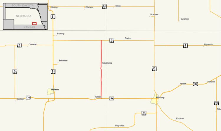 | ||
Nebraska Highway 53 is a highway in southern Nebraska. It is a north–south highway which runs for 12 miles (19 km). It has a southern terminus at U.S. 136 east of Gilead, and a northern terminus west of Daykin at Nebraska Highway 4.
Contents
Route description
Nebraska Highway 53 begins one mile (1.6 km) east of Gilead at U.S. 136. It proceeds north through farmland and crosses the Little Blue River before entering Alexandria. From Alexandria, it continues north until NE 4, where it ends.
Major intersections
The entire route is in Thayer County.
References
Nebraska Highway 53 Wikipedia(Text) CC BY-SA