
Length 235 km Source elevation 410 m | Discharge 43.9 m³/s Source Panenská Rozsíčka | |
 | ||
Main source near Panenská Rozsíčka410 m (1,350 ft) Basin size 13,419 km (5,181 sq mi) | ||
The Thaya (Czech: Dyje [ˈdɪjɛ]) is a river in Central Europe, the longest tributary to the Morava River. It is about 235 km (311 km with its longest source) long and meanders from west to east in the border area between Lower Austria (Austria) and South Moravia (Czech Republic), though the frontier does not exactly follow the river's course in most parts. Its source is in two smaller rivers, namely the German Thaya (Deutsche Thaya) and the Moravian Thaya (Czech: Moravská Dyje, German: Mährische Thaya), flowing together at Raabs.
Contents
Map of Thaya
Its name means "the inert". There is also a small village which bears the name Dyje, located near Znojmo.
GeographyEdit
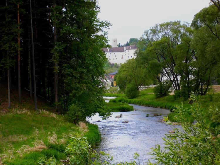
In its upper reaches, the Thaya flows through deep gorges (Podyjí), along which it passes many castles and chateaus. In Moravia, it has been dammed in several locations.
Thaya gathers waters from the western half of Moravia and the adjacent part of Lower Austria. Its biggest tributaries are Svratka and Jihlava, flowing together into the middle one of the Nové Mlýny reservoirs.
Important cities and towns along the Thaya:
DamsEdit
All the dams are situated in Czech Republic. They are used for irrigation, hydroelectricity and flood protection.